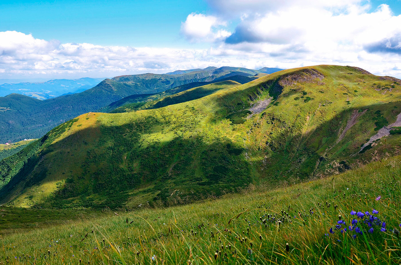
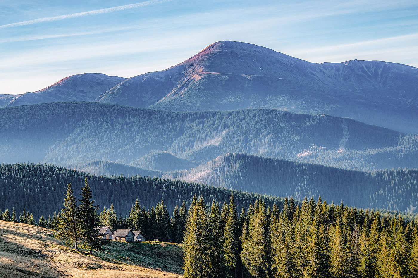
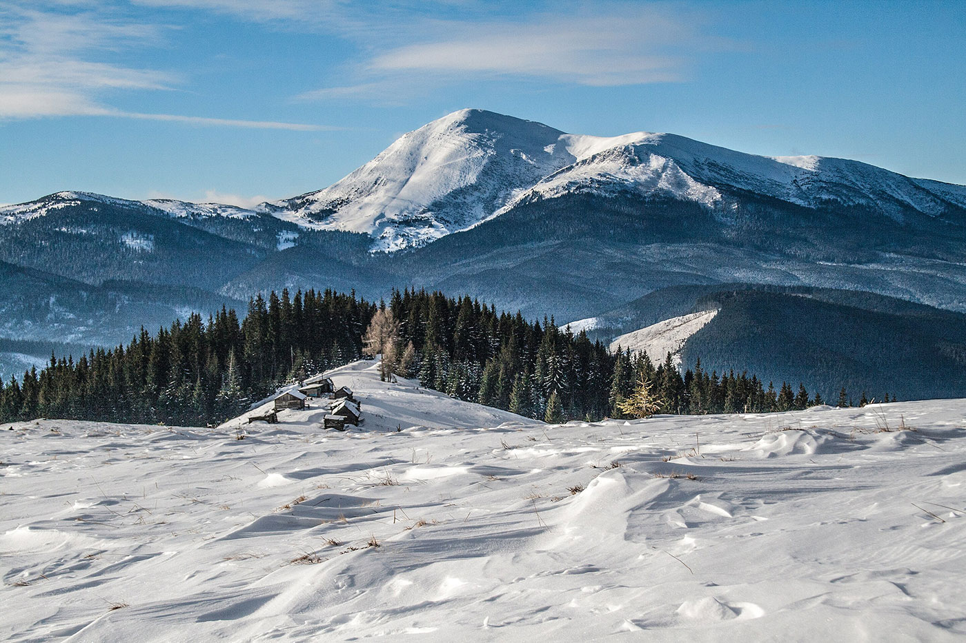
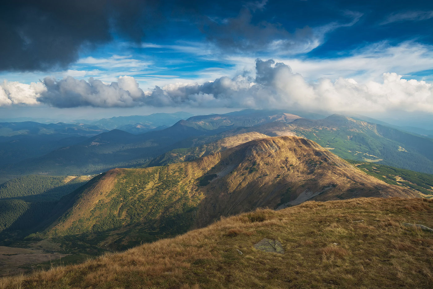
Mount Hoverla (elevation – 2,061 meters), part of the Chornohora mountain range, is one of the most visited locations in the Ukrainian Carpathians, as it is the highest mountain peak in Ukraine.
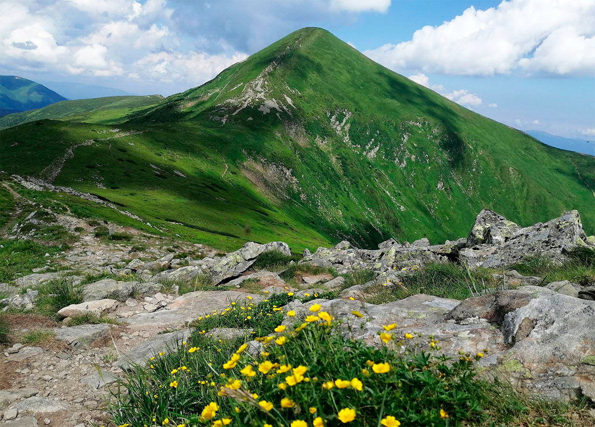
In addition to Hoverla, the Chornohora range includes five other peaks that rise above 2,000 meters:
- Brebeneskul (2,035 meters)
- Pip Ivan Chornohirskyi (2,028 meters)
- Petros (2,020 meters)
- Hutyn Tomnatyk (2,016 meters)
- Rebra (2,001 meters)
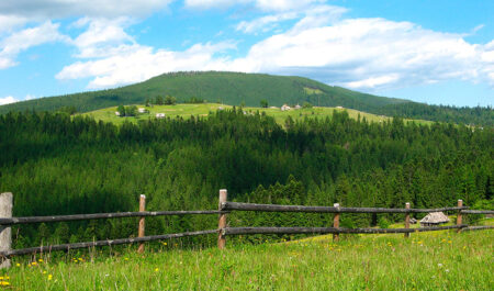
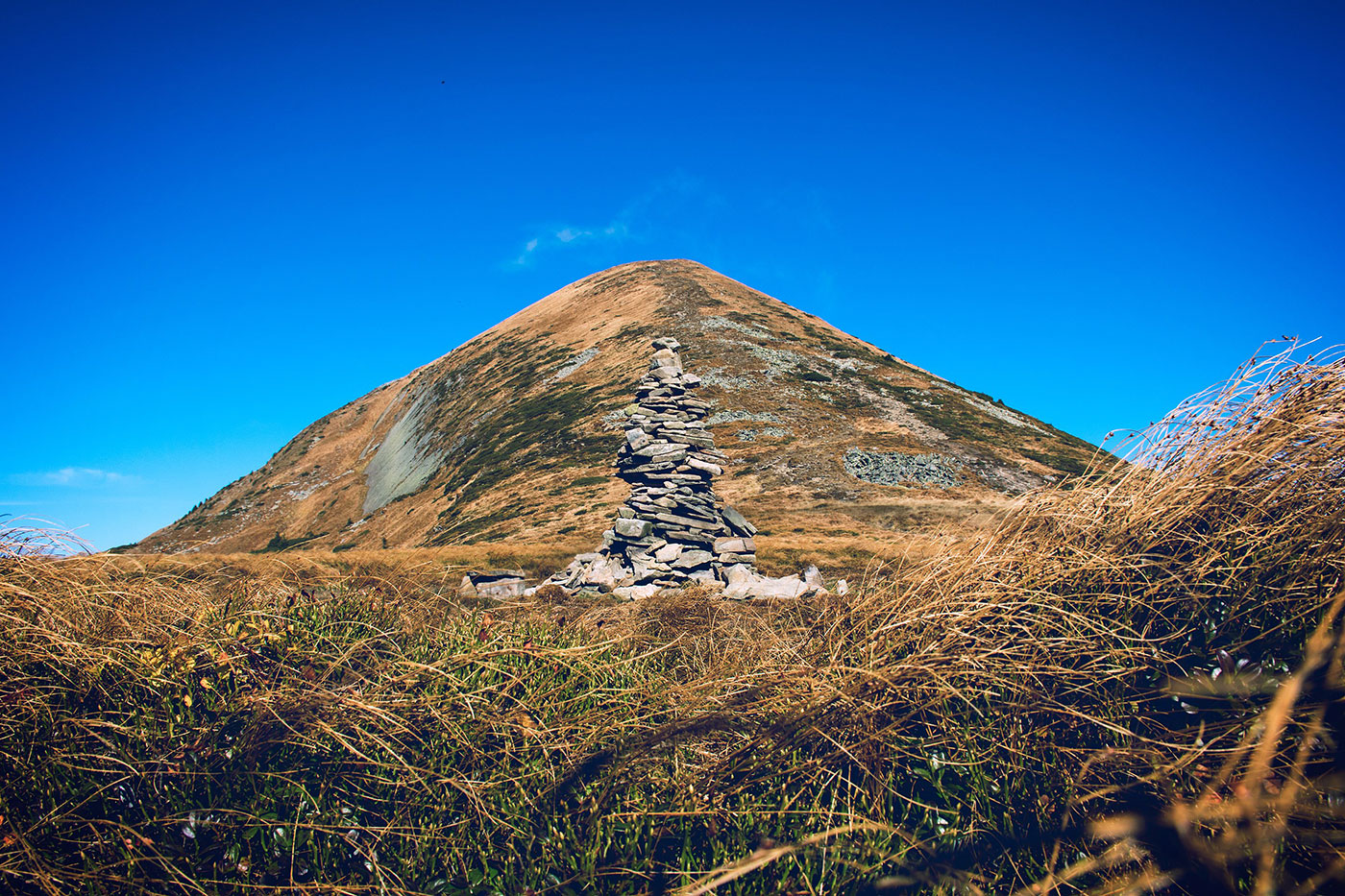
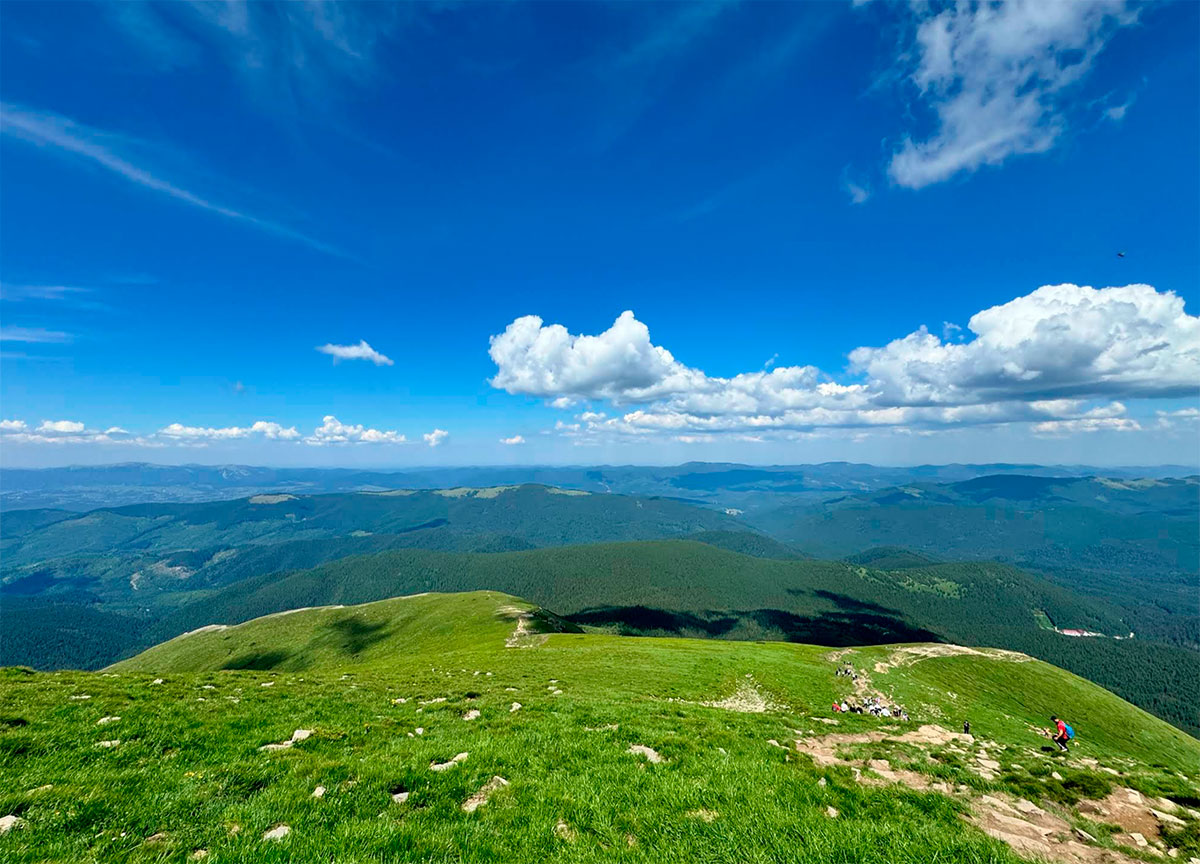
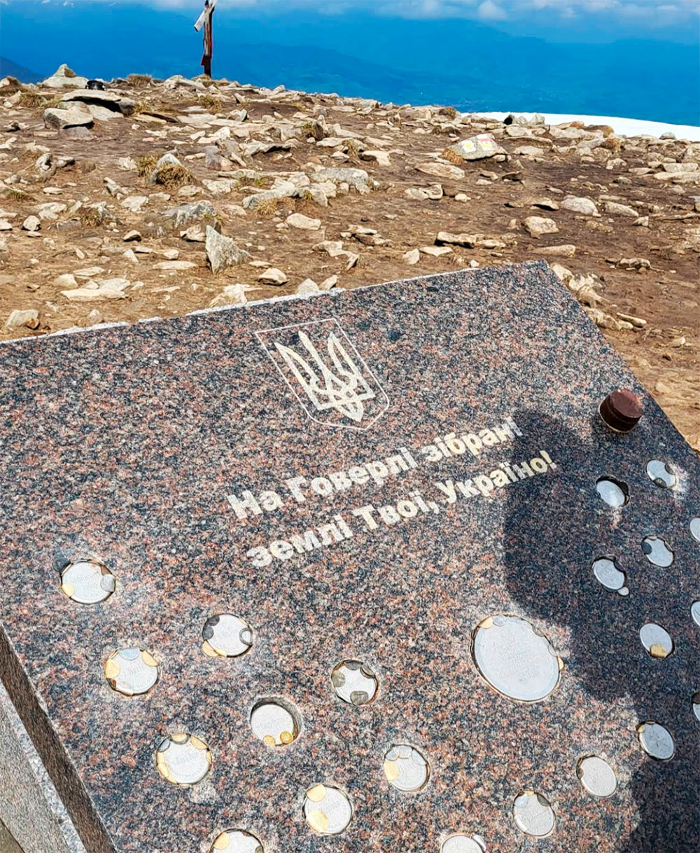
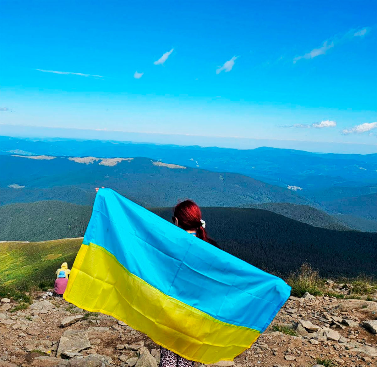
Hoverla is located on the border of the Nadvirna district in Ivano-Frankivsk region and the Rakhiv district in Zakarpattia region, just 17 kilometers from the Romanian border and 26 kilometers from our Chillax Hotel (via highway). The summit is a small flat platform offering panoramic 360° views of the surrounding landscape. At the top, you’ll find a tall flagpole flying the Ukrainian flag, along with a trident and a cross.
The origin of the name “Hoverla” is debated. Most Ukrainian linguists believe it comes from the Romanian word “howârla”, meaning “difficult-to-pass elevation.”

There are several hiking routes leading to the summit:
- Via the green trail from the Zaroslyak tourist base (about 30 kilometers from Chillax Hotel), through the Kozmeska meadow and Mount Mala Hoverla. Estimated hiking time: 3 hours up, 2 hours down.
- Via the blue trail from Zaroslyak base. Estimated time: 3 hours up, 2 hours down.
- Via the green trail from the village of Lazeshchyna (10 kilometers from Chillax) to the Kozmeschyk area, then following the green, yellow, and green markers again via Mount Mala Hoverla. Estimated time: 7 hours up, 6 hours down.
- Via the green trail from Lazeshchyna to Kozmeschyk, then following the yellow trail through Hropa meadow. Estimated time: 7 hours up, 6 hours down.
- Via the red trail from Mount Breskul. Estimated time: 1 hour up, 1 hour down.
- Via the red trail from Mount Petros through Holovcheska and Skopeska meadows and the “Highland Shelter of the Carpathians.” Estimated time: 4 hours up, 4 hours down.
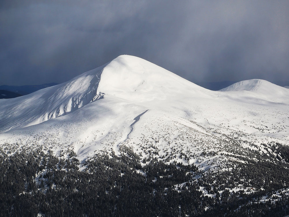
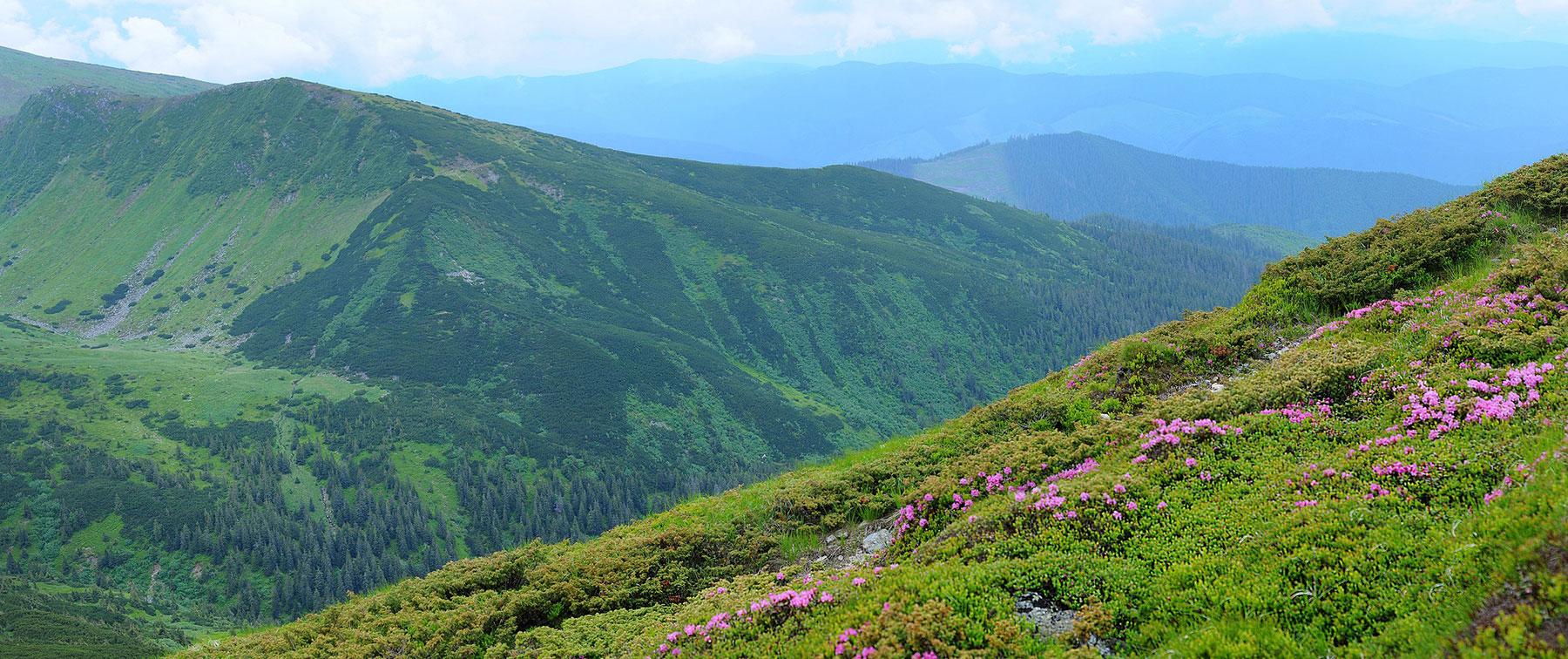
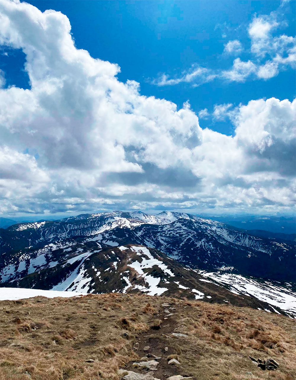
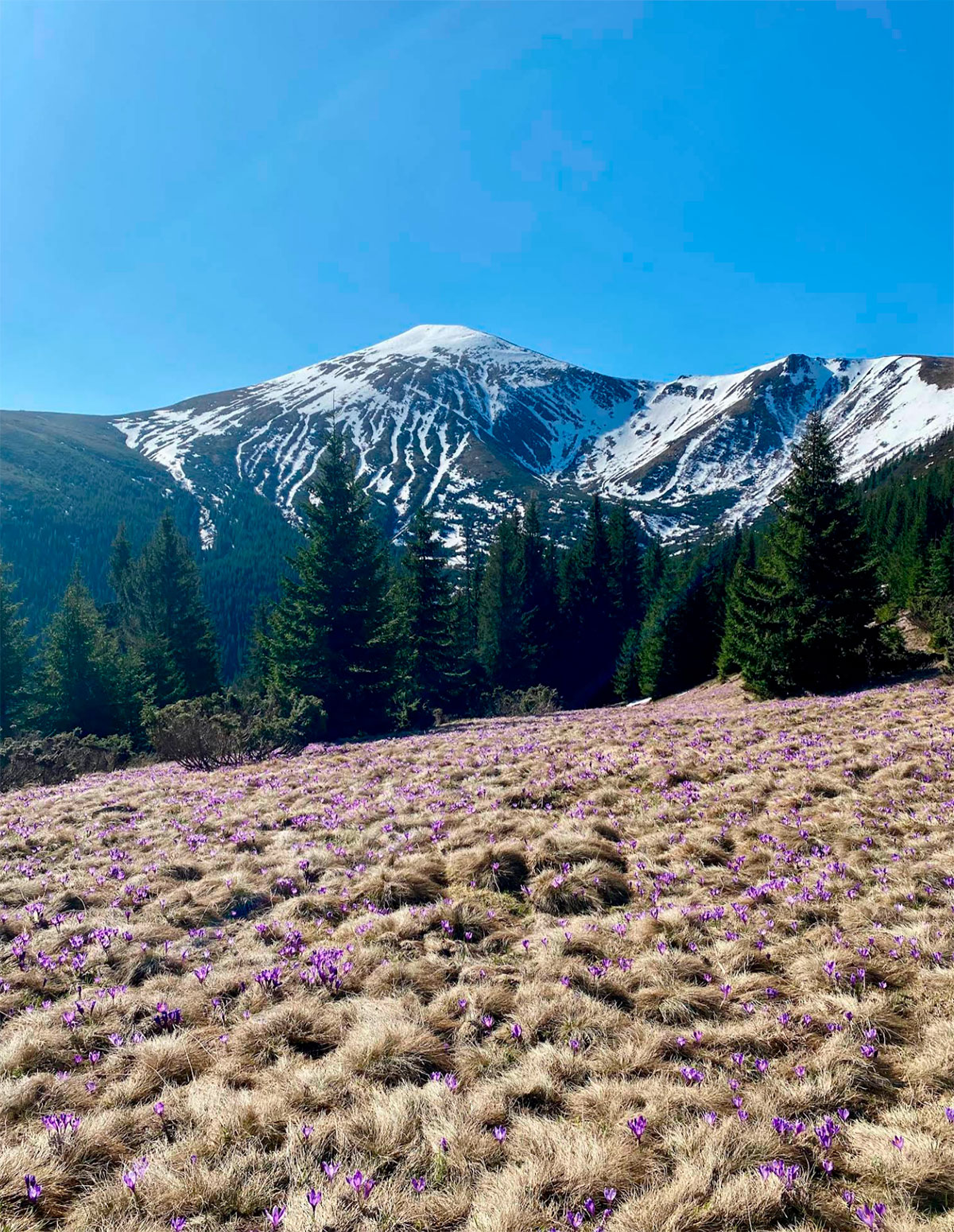
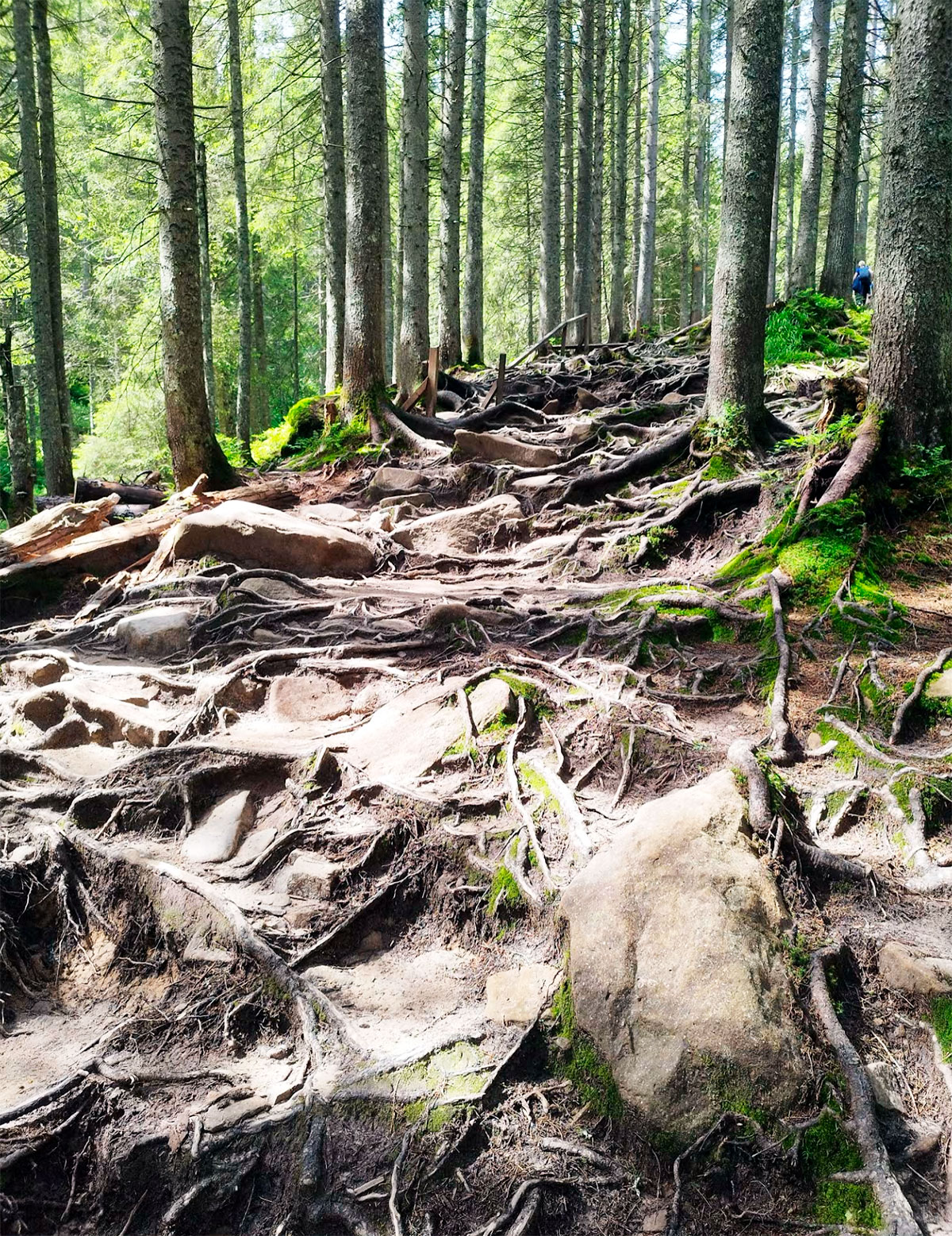
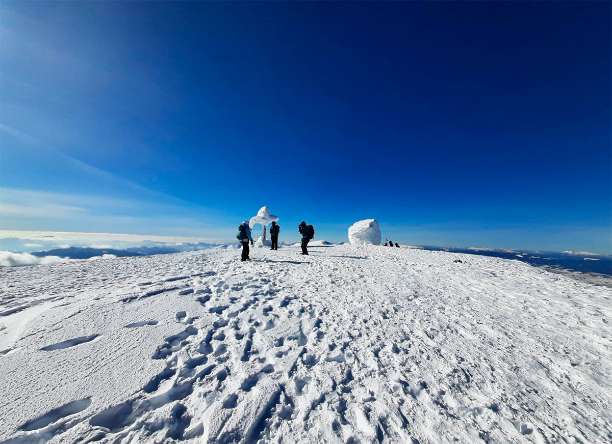
It’s important to note that Hoverla’s summit is covered in snow for most of the year. The weather can be highly unpredictable: summer snow is not unusual, and sudden rain or strong winds may occur. Therefore, appropriate clothing is essential. During warmer months, the ascent via the green trail is relatively easy (even suitable for school-age children). However, other routes can be quite challenging, especially in bad weather. Wildlife, including snakes, may also be encountered along the way.
Regardless of the chosen path, reaching the highest point in Ukraine is absolutely worth it — the panoramic views from the summit are truly breathtaking.
Where is located
Vorokhta, Ivano-Frankivsk region and Lazeshchyna, Zakarpattia region.