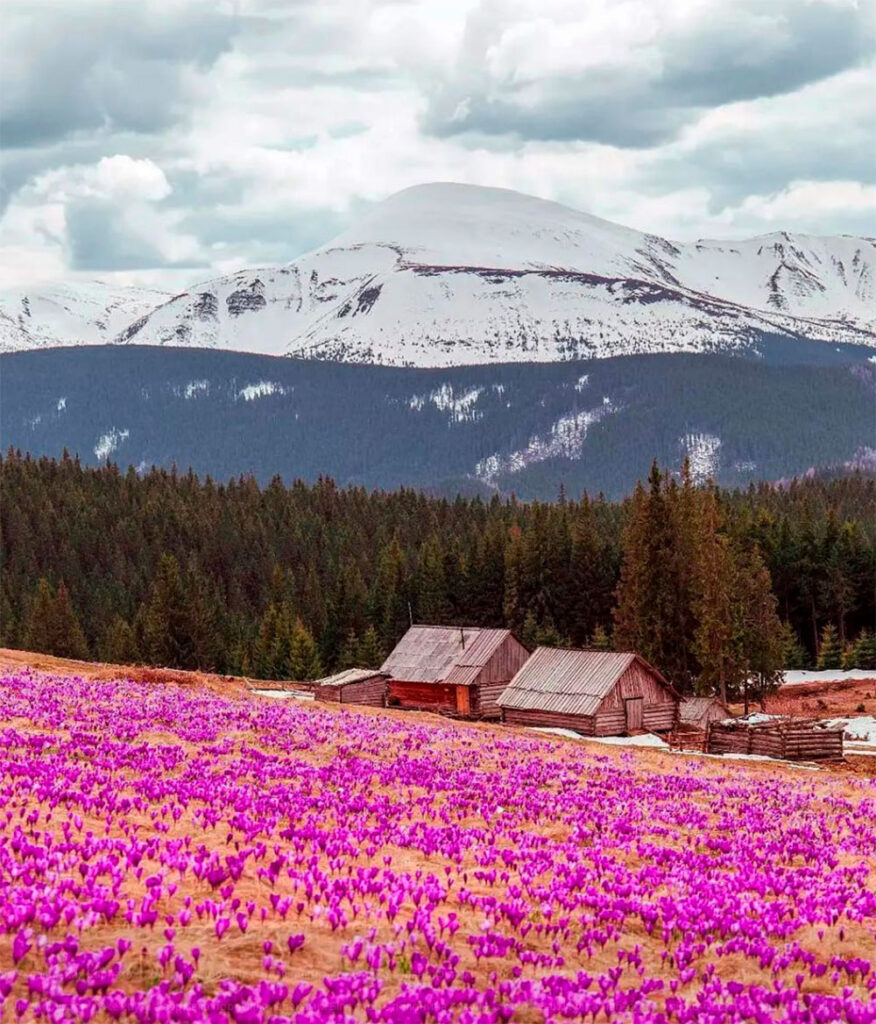
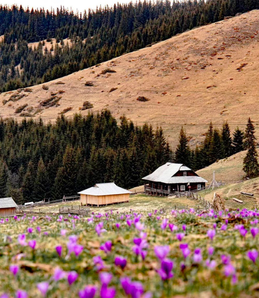
Mount Kukul (height – 1539 meters) is located on the border of two regions of Ukraine – Ivano-Frankivsk and Zakarpattia. There are several routes to reach the summit. The most popular starting points for ascent are from the villages of Voronenko and Lazeshchyna, as well as the urban-type settlement of Vorokhta (from our hotel “Chillax” the distance to them is, respectively: 6, 10 and 32 kilometers).
Most tourists choose the route to Mount Kukul, which begins in the village of Voronenko. It is considered the easiest due to the smooth difference in altitude and the short distance – about 12 kilometers. We remind you: there are markers on all routes, and it is recommended to follow them!


So, if you go up from the village of Voronenko, the first place you will come across on your way is the Pripir tract. There is a place here that is perfect for a rest stop: a table with benches is installed under a canopy. Moving further, you will get to the Bukovina meadow, where there are kolybas, there is a spring where you can replenish your drinking water supplies.
This meadow is also well known for its huge swings attached to tall trees – they were built by locals to attract tourists here. So, don’t pass by, swing a little – enjoy it!


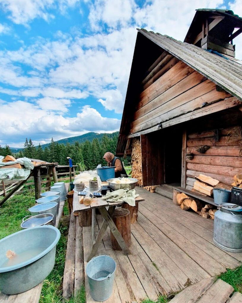
The route then takes you to the Hryhorivka meadow. From here you can see the most famous two-thousander Carpathian mountains – Hoverla and Petros. After that, going up, you will get to the Serednya valley, where there are also a couple of Hutsul huts. And further along the route, having passed a small rise, you will reach the Kukul ridge. The highest point of the ridge is Mount Kukul. Going down the path, you will get to the Zakukul meadow. In the warm season, you can meet shepherds guarding herds of livestock in the local huts – you can buy fresh cheese and milk from them.
The route to the top of Mount Kukul from Vorokhta is more difficult and longer. Unlike the first route, the beginning of your path will pass through the forest. After that, you will immediately come out to the middle of the Kukul ridge. On the path leading from Vorokhta, there are many springs and small streams, especially in the summer. In some places, the road will be swampy, so rubber boots will not be superfluous on this route. Despite the 20-kilometer distance, the route to Mount Kukul from Vorokhta will not be too tiring, thanks to the relatively small difference in altitude.


The route to Mount Kukul from the village of Lazeshchyna. By the way, if you are a connoisseur of Ukrainian antiquity, we recommend visiting the local ethnographic museum and the unique wooden Peter and Paul Church in this village, built in 1780! Leaving the village, you need to head along the Foresok River, and, walking along the path, you will first reach the Kukul ridge and then its highest point – Mount Kukul. Following this route further, you will get through the Labeska meadow to Mount Kichera (1084 meters), and then – the descent to the village of Vorokhta. If desired, this route can be taken the other way around.
So, choose which route you like best and go on a hike to Mount Kukul; in any case, the experience will be wonderful and unforgettable.
Where is located
Vorokhta, Ivano-Frankivsk region.

