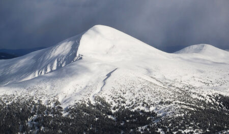
Mount Magura (height – 1288 meters) is part of the Gorgany massif. It is located within the Carpathian National Nature Park – between the villages of Yablunytsia, Tatariv and the urban-type settlement of Vorokhta. From our hotel “Chillax” to this mountain – about 4 kilometers.
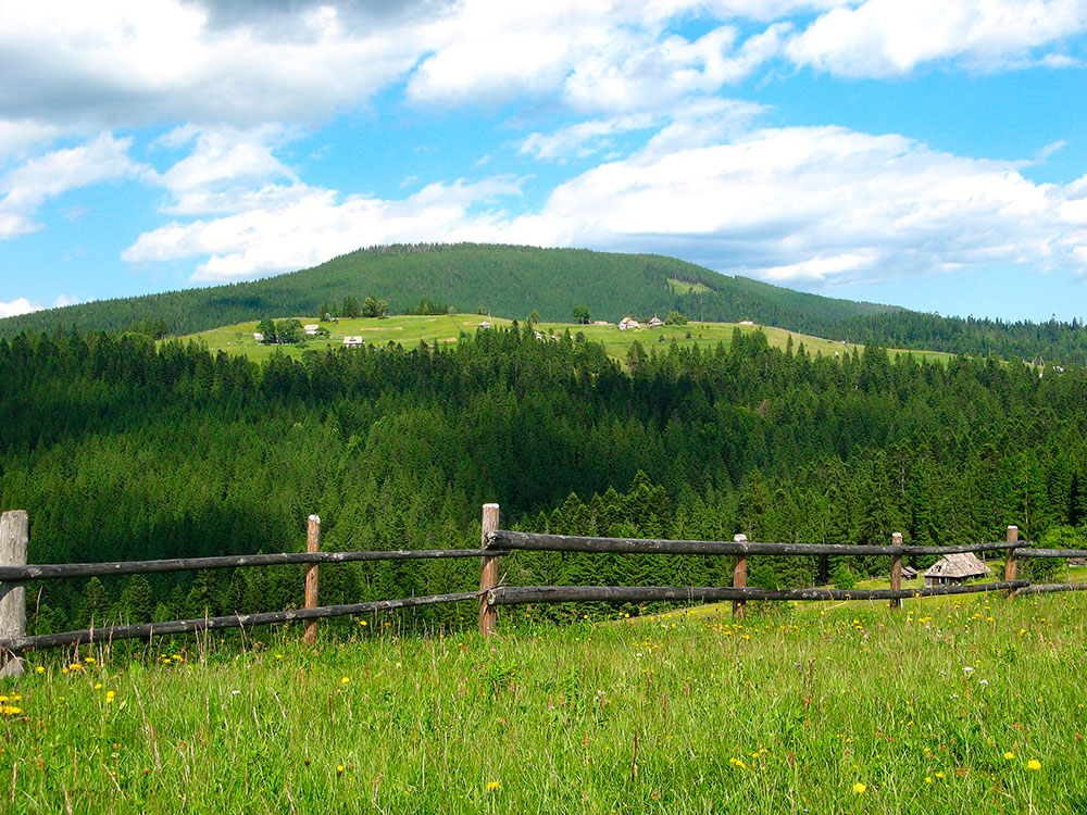
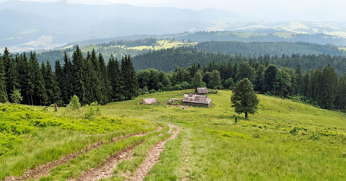
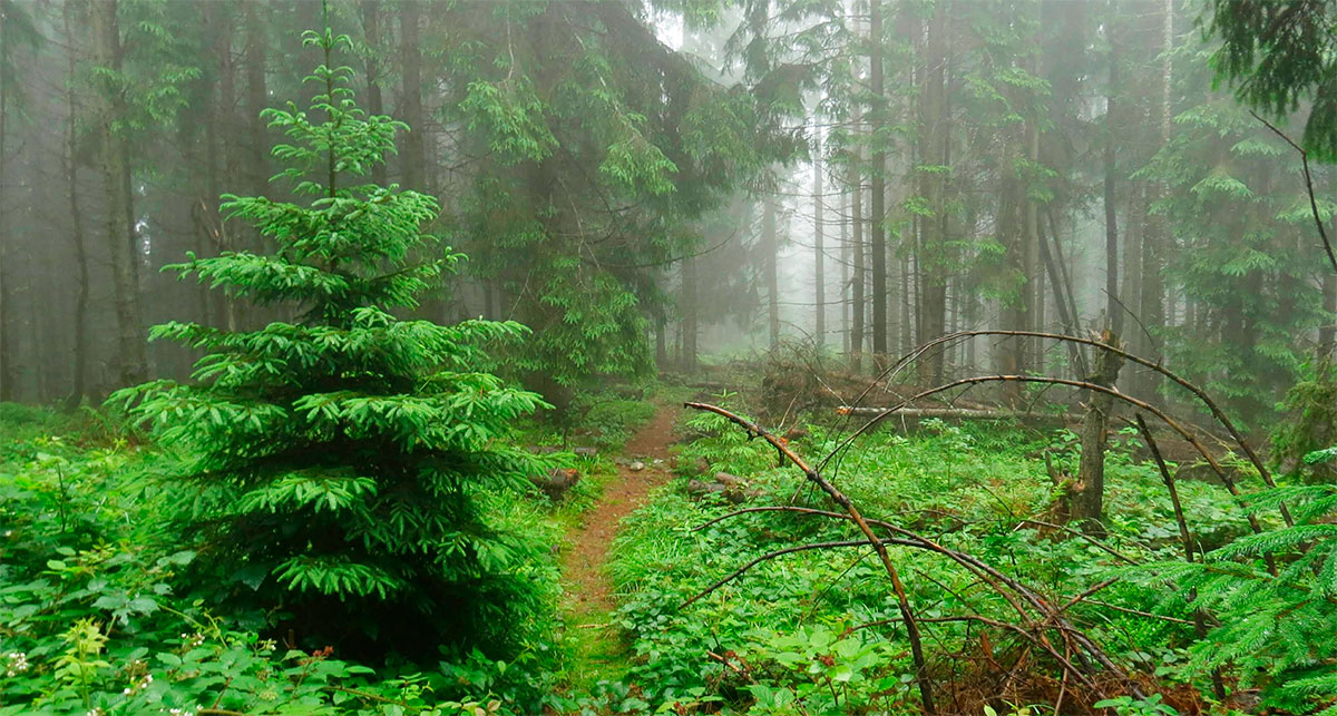
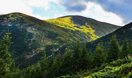
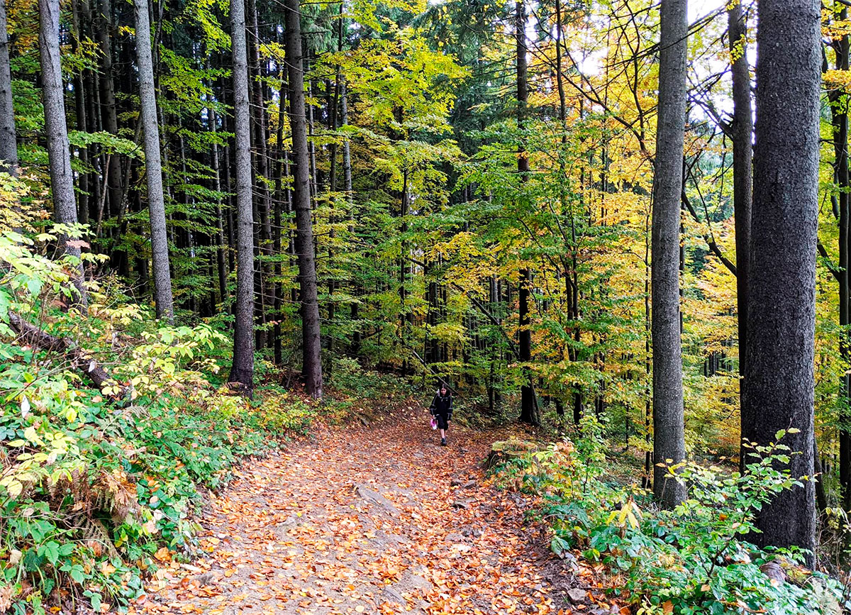
The mountain has the shape of a ridge that extends from the southeast to the northwest. The northeastern slopes are very steep – only an experienced athlete can climb them. However, if you climb from other sides, the path will be much easier and quite accessible even to novice tourists. The top of the mountain is almost completely covered with forest, and along the slopes you will come across polonyna.
It is worth noting that there are as many as 5 mountains named “Magura” in the Ukrainian Carpathians! This mountain, which is located near our guest house, so as not to confuse it with others, is often called Magura Nadvirna (because it is located in the Nadvirna district of the Ivano-Frankivsk region).
And here are where in the Carpathians there are other mountains with the same name:
- Magura — Chernivtsi region, Pokutsko-Bukovinsky Carpathians;
- Magura — Lviv region, Skolovsky district;
- Magura-Limnyanska — Lviv region, Turkovsky district;
- Magura-Zhide — Zakarpattia region, Volovets district.
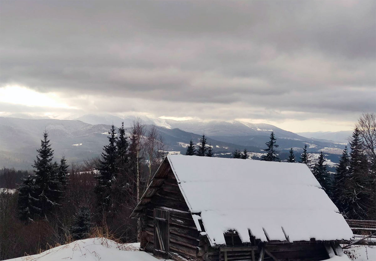
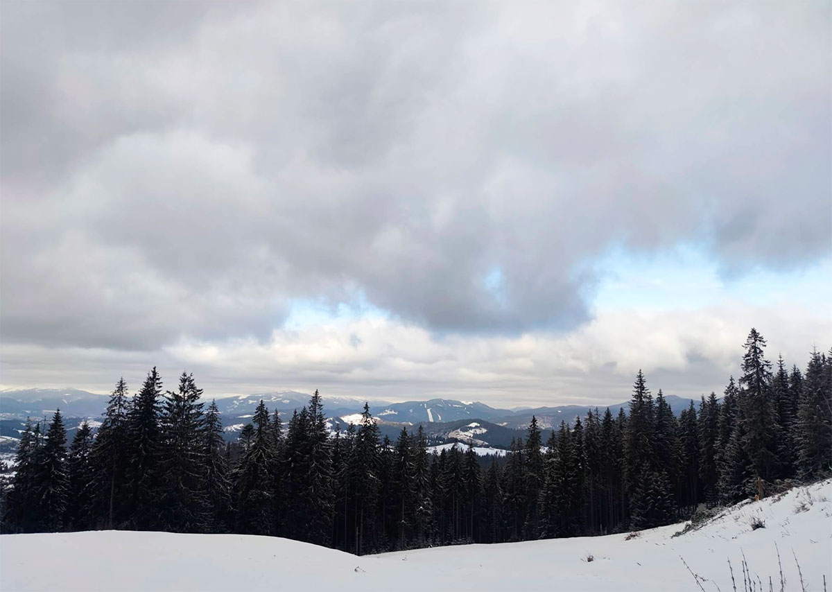
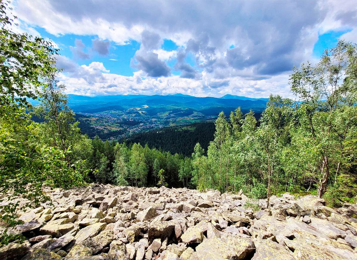
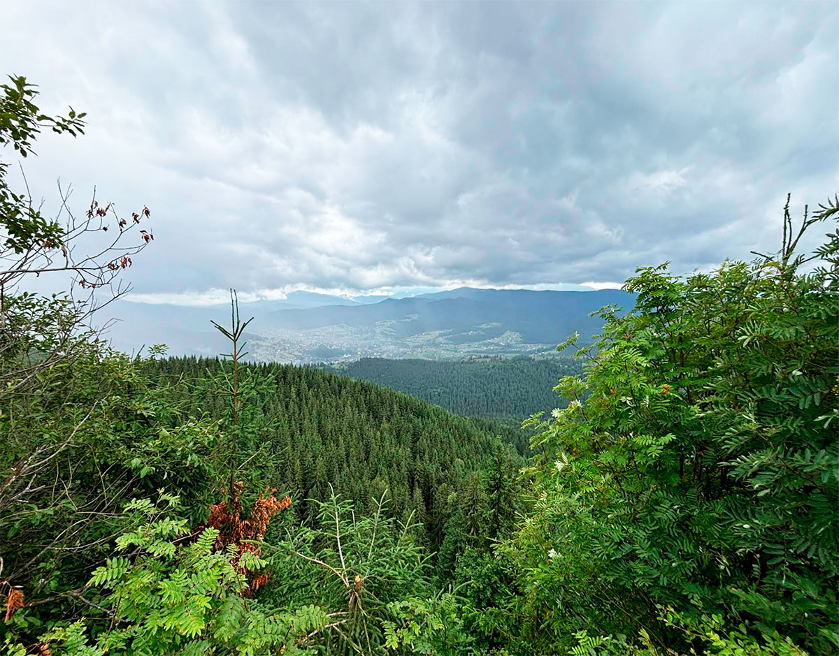
The views from the top of Mount Magura Nadvirna are simply magnificent! You will be absolutely delighted by the surrounding beauty!
Where is located
Yablunytsia, Ivano-Frankivsk region.