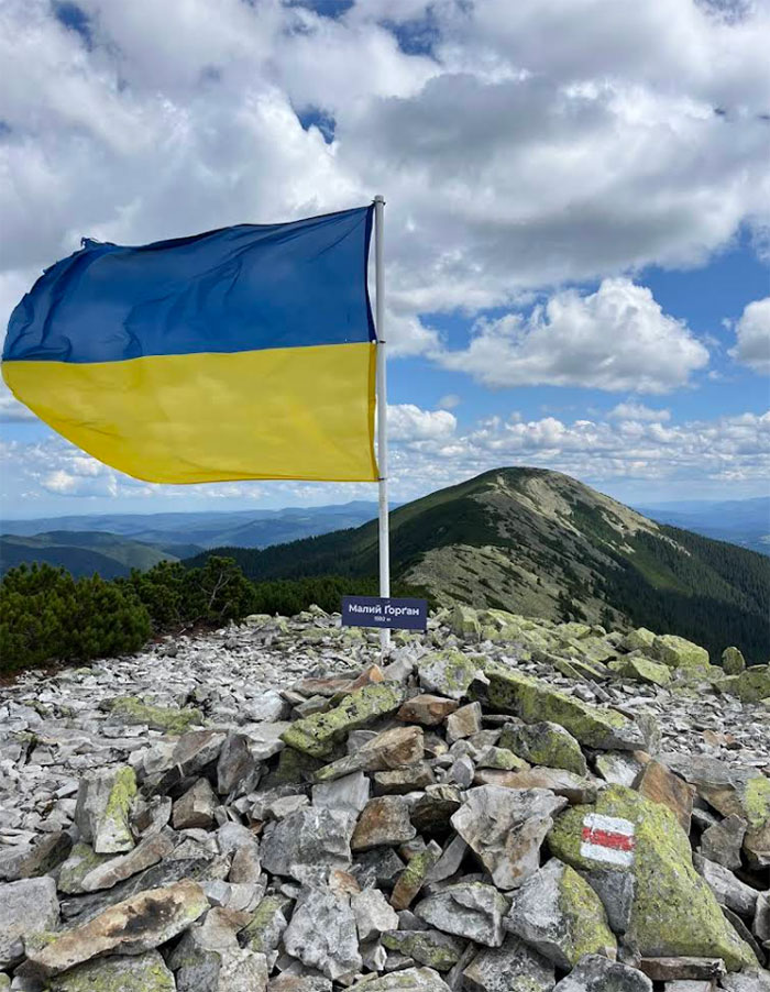
Mount Malyi Gorgan is another interesting peak in the Gorgany massif, located on the Sinyak Ridge, north of the village of Polianytsia and west of Tatariv. It stands at approximately 1,592–1,592.5 meters and is well known to those who enjoy slightly less obvious, yet very atmospheric, routes.
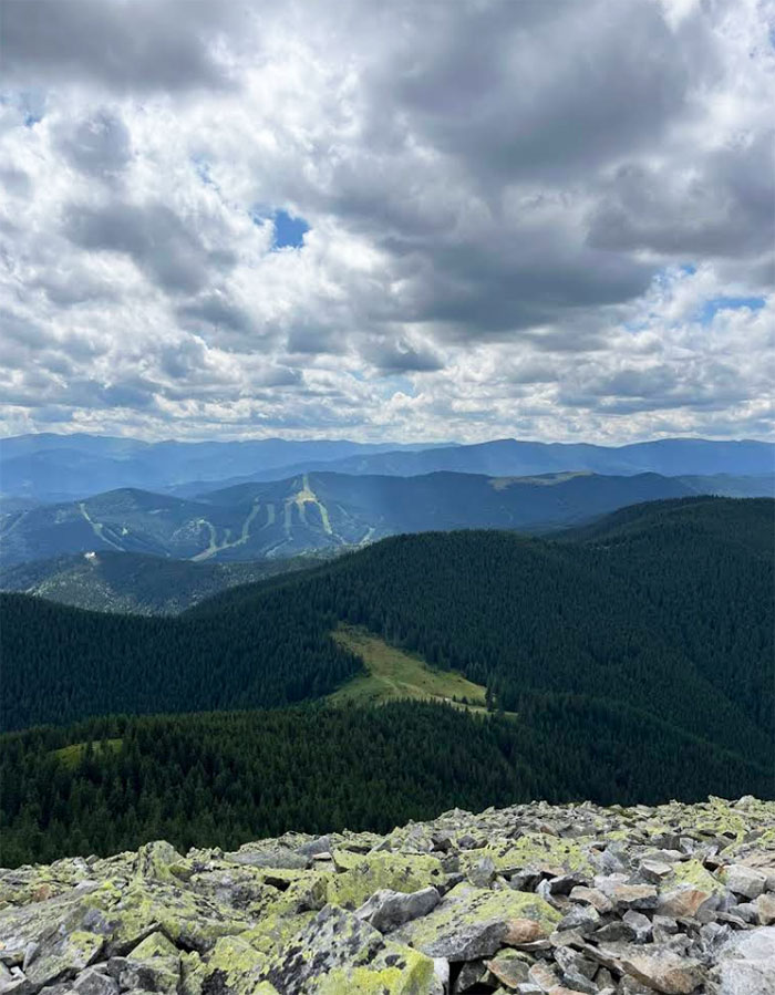
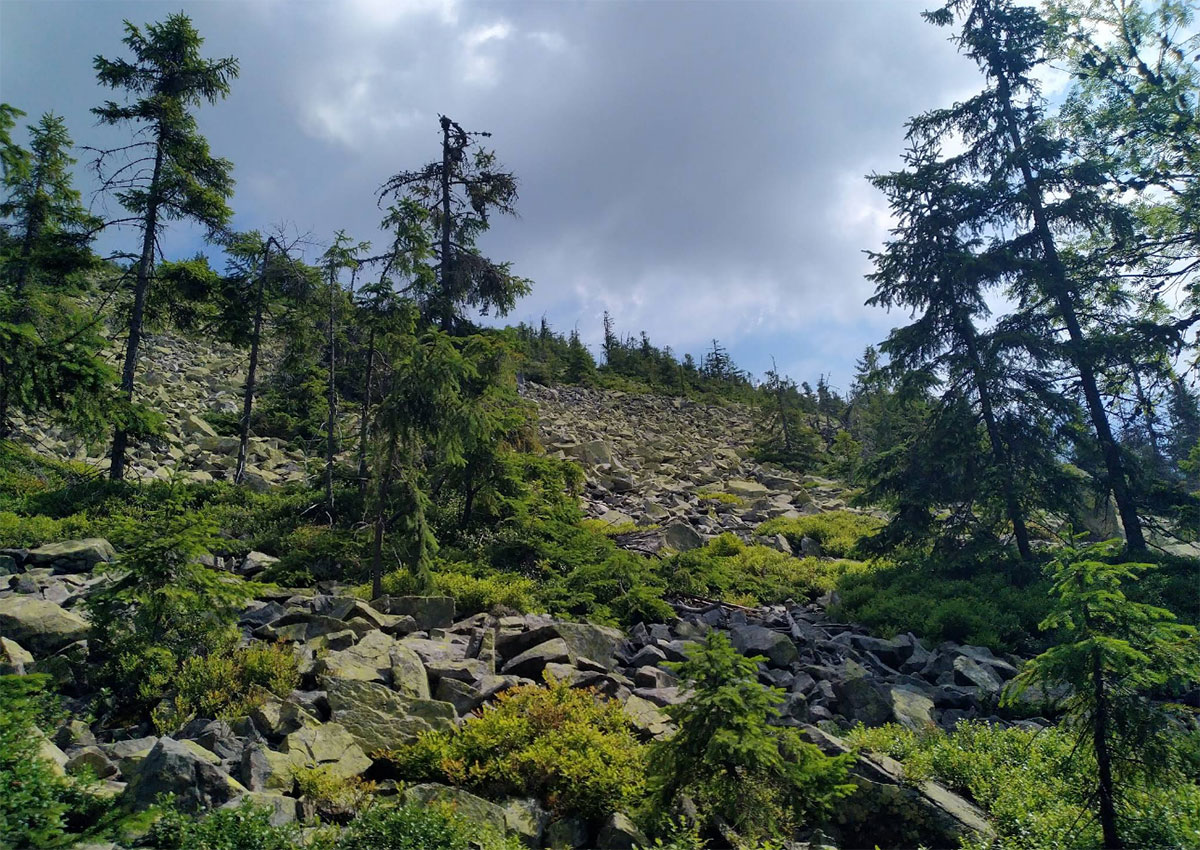
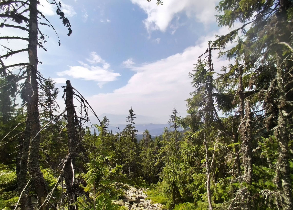
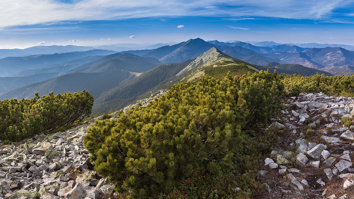
The lower slopes of the mountain are covered in forests, higher up, mountain valleys begin, and closer to the summit, one finds the same characteristic rocky outcrops and “bald” areas of the Gorgany massif. The northeastern slopes here are quite steep and difficult to navigate, so tourist routes usually avoid the most challenging sections, sticking to the more gradual ridgelines.
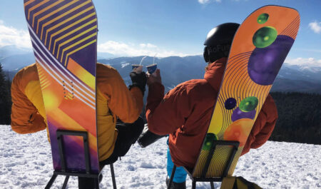
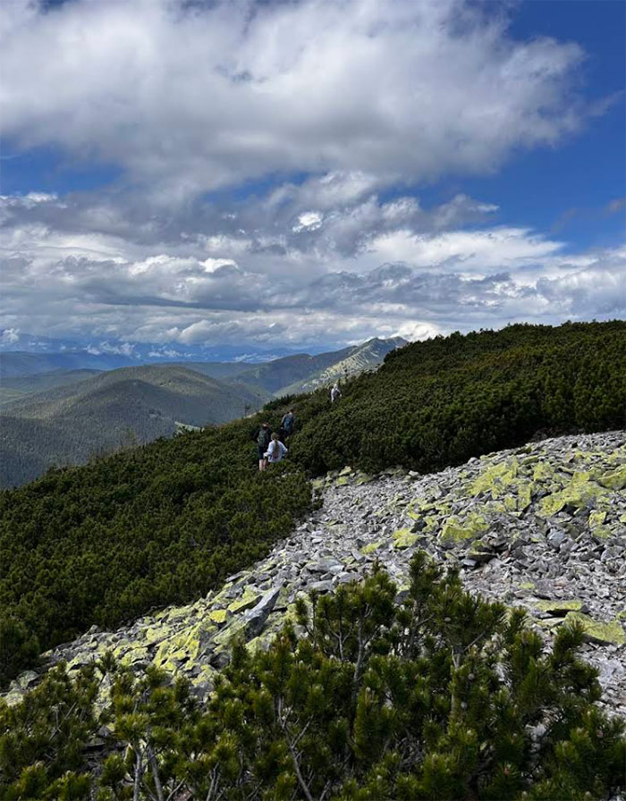
Maly Gorgan is rarely considered a standalone destination for a short hike; it’s much more often part of a two-day trek. The classic route starts in Tatariv, climbs up to the Khomyakiv mountain valley, then to Sinyak, then follows the ridge to Maly Gorgan peak and descends toward the Blazhiv mountain valley and the village of Polianytsia. This route allows you to see several striking peaks in one or two days, soak up the atmosphere of Gorgan, and hike along authentic rock ridges.
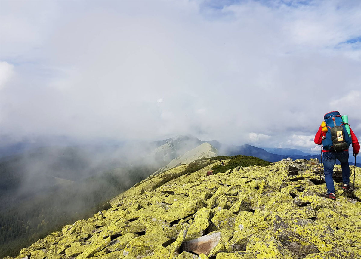
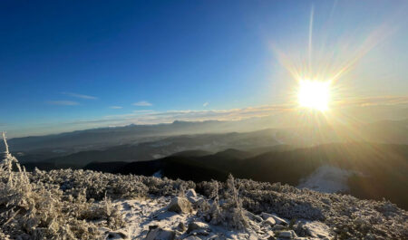
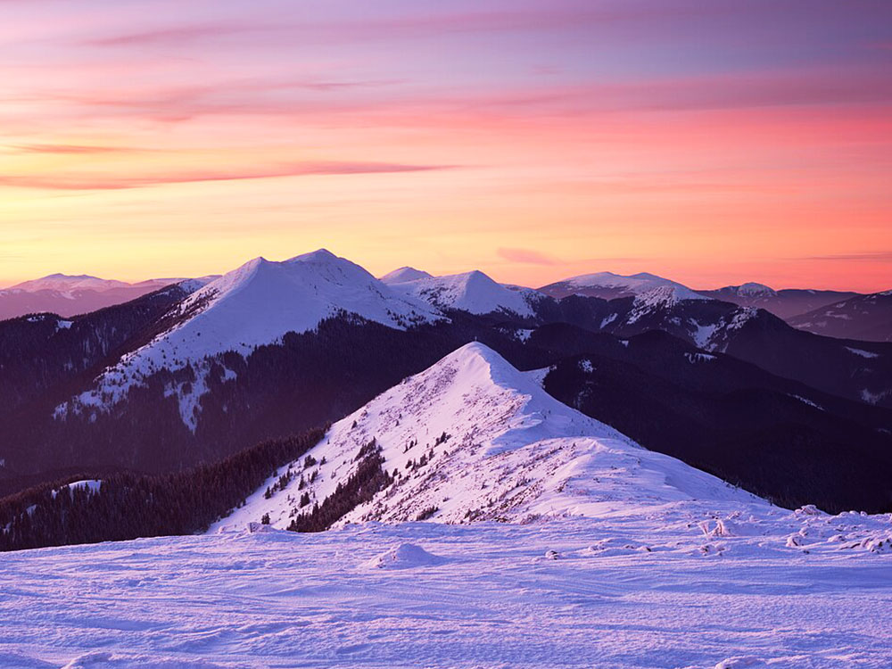
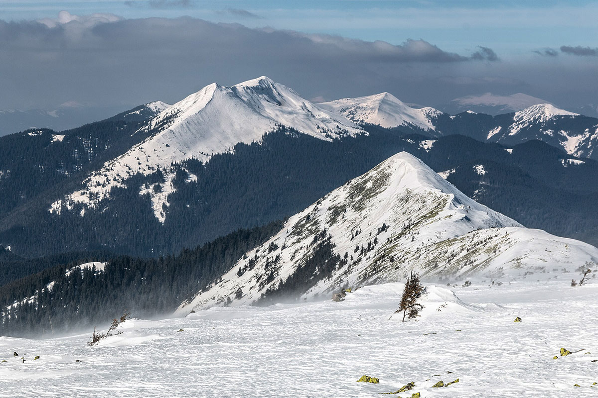
From the summit of Malyi Gorgan, views open up of the other “stars” of this massif — Dovbushanka, Vedmezhyk, and neighboring ridges. If the weather is favorable, this is one of those places where the sheer scale of the Carpathians is truly felt: forests, mountain valleys, and rocky outcrops lie all around, and civilization seems far away.
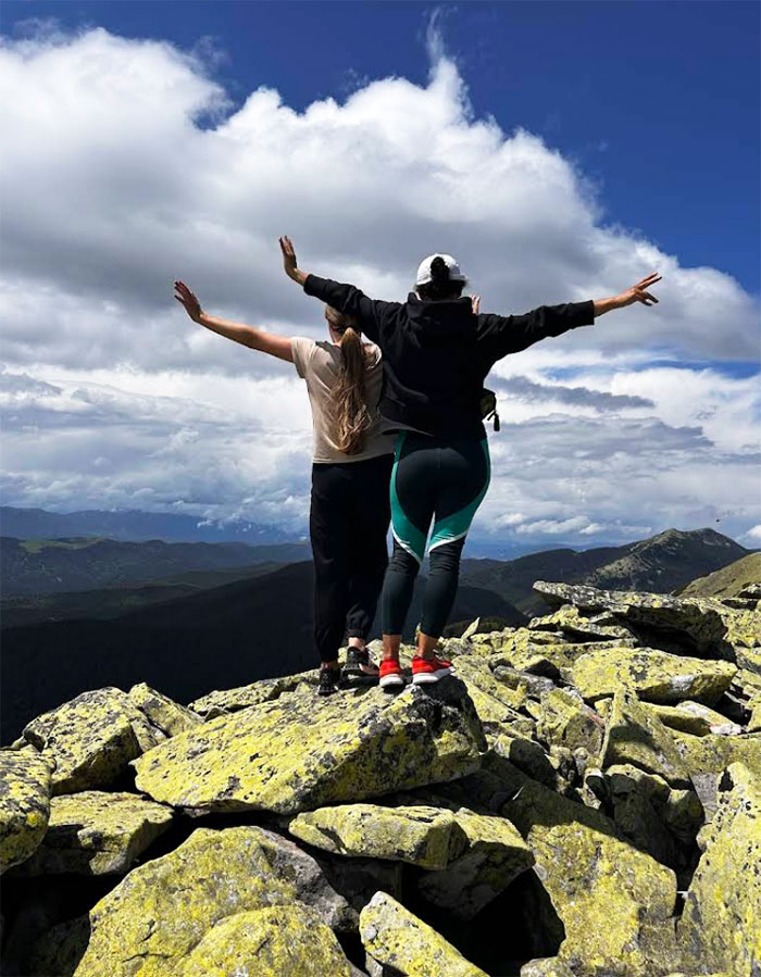
Due to the rocky terrain, the route through Maly Gorgan isn’t exactly a walk in sneakers. Comfortable trekking shoes, trekking poles, and careful attention during the descent are especially important—especially in wet weather, when the rocks are slippery. The mountain rewards generously: you can experience the true character of Gorgan, where rock and forest coexist, and the surrounding area seems made for trekking.
Where is located
Polianytsia, Ivano-Frankivsk region.