Mount Makovytsia, with an elevation of 984.5 meters above sea level, is the highest peak in the vicinity of Yaremche. The name is likely derived from the word “makivka” – meaning “summit,” although other versions exist. According to one legend, the word “Makovytsia” comes from Sanskrit and means “a place of worship,” that is, a pagan shrine. Local residents also say that the mountain has a special energy, as geological faults intersect in this area. It is no wonder that crosses and chapels have long been erected here as symbols of spiritual protection.
Makovytsia is distinguished by its convenient location and accessibility: you can start the climb directly from Yaremche. This is a one-day route that is suitable for both experienced travelers and those who are going to the Carpathians for the first time. The height difference from the city to the peak is about 450 m, so the climb does not require special preparation.
Routes to the summit
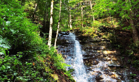
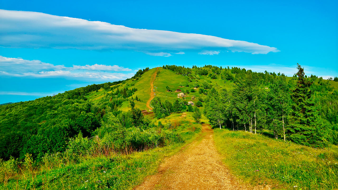
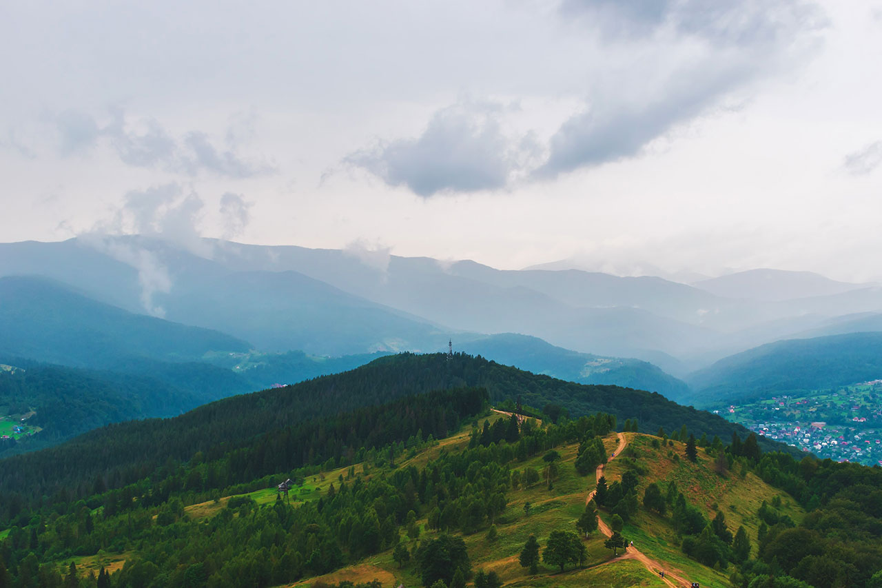
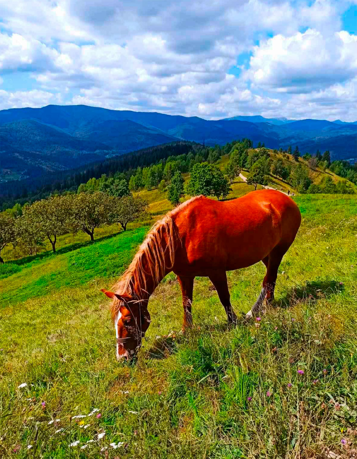
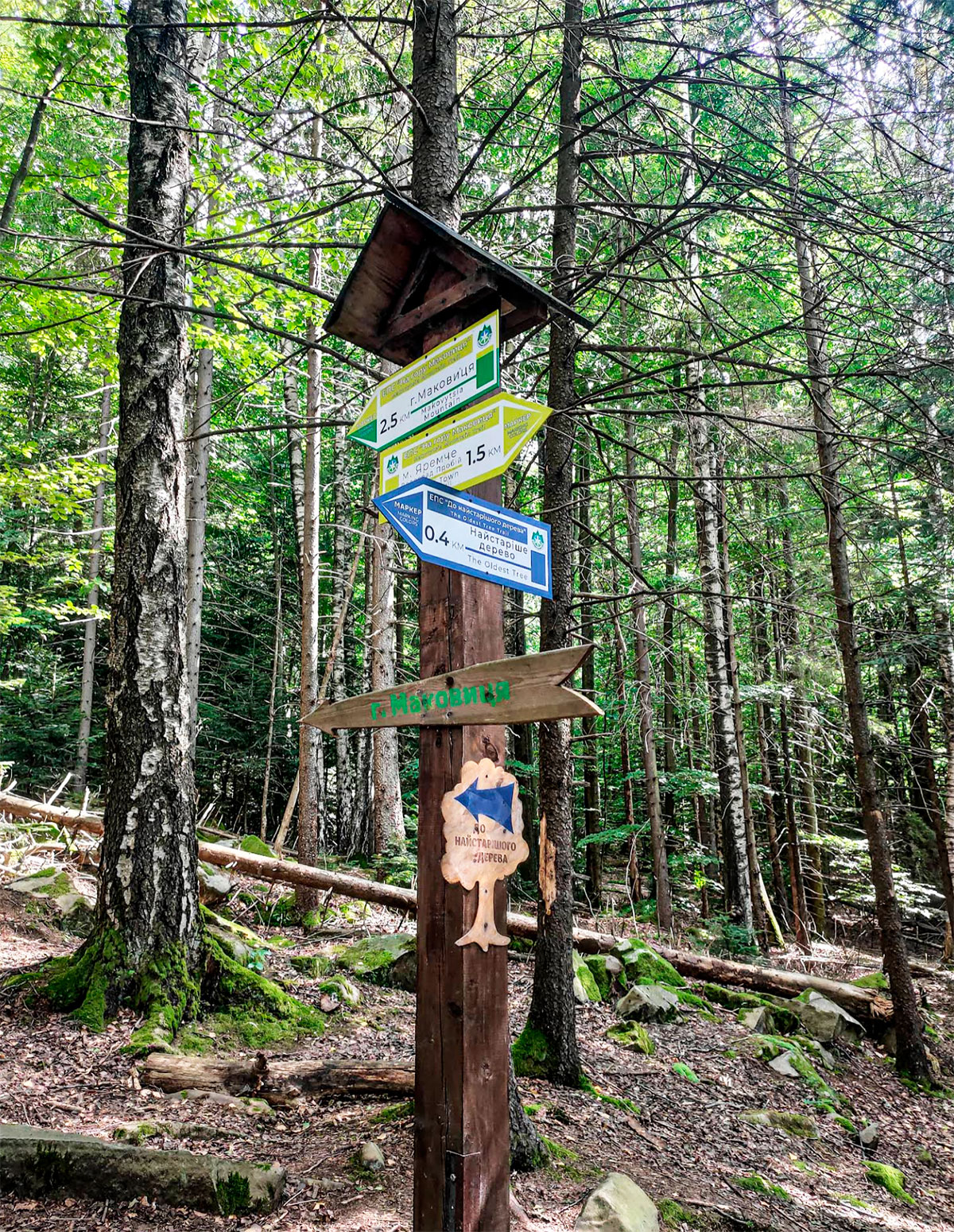
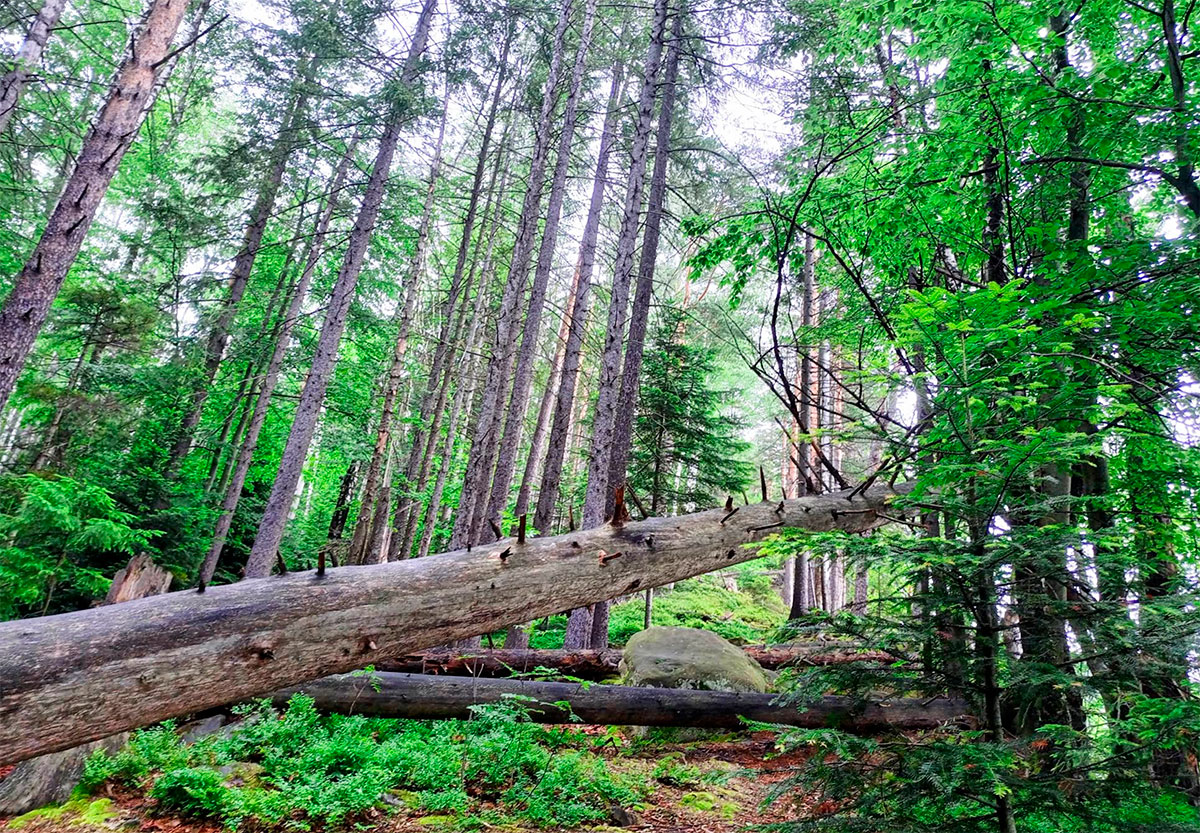
The most famous path leads through the “Drybky” tract and the Dovbush path. Another, more convenient option starts from Ivan Franko Street in the hamlet of Yamna – the trail is well visible and leads directly to the top. There is also a longer route along the entire ridge. In any case, travelers are accompanied by shaded spruce forests, meadows and hayfields. In summer, on the slopes you can enjoy raspberries, strawberries, blueberries or blackberries.
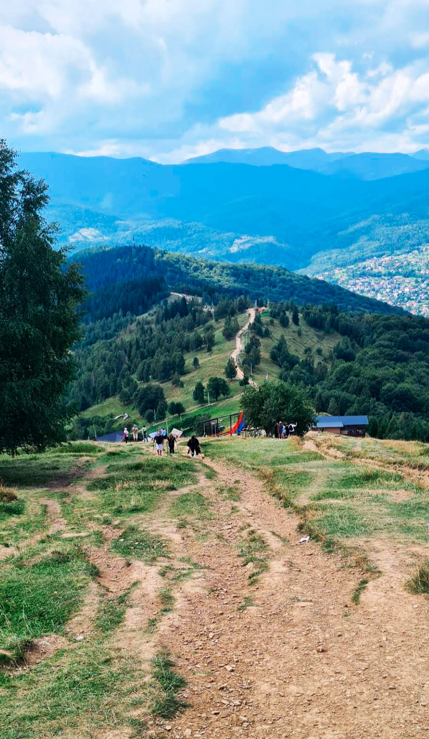
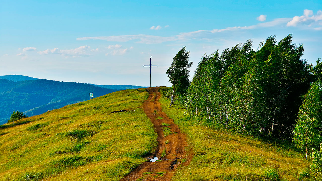
The last few hundred meters of the climb are steeper, but they lead to the reward: a panoramic platform at the top.
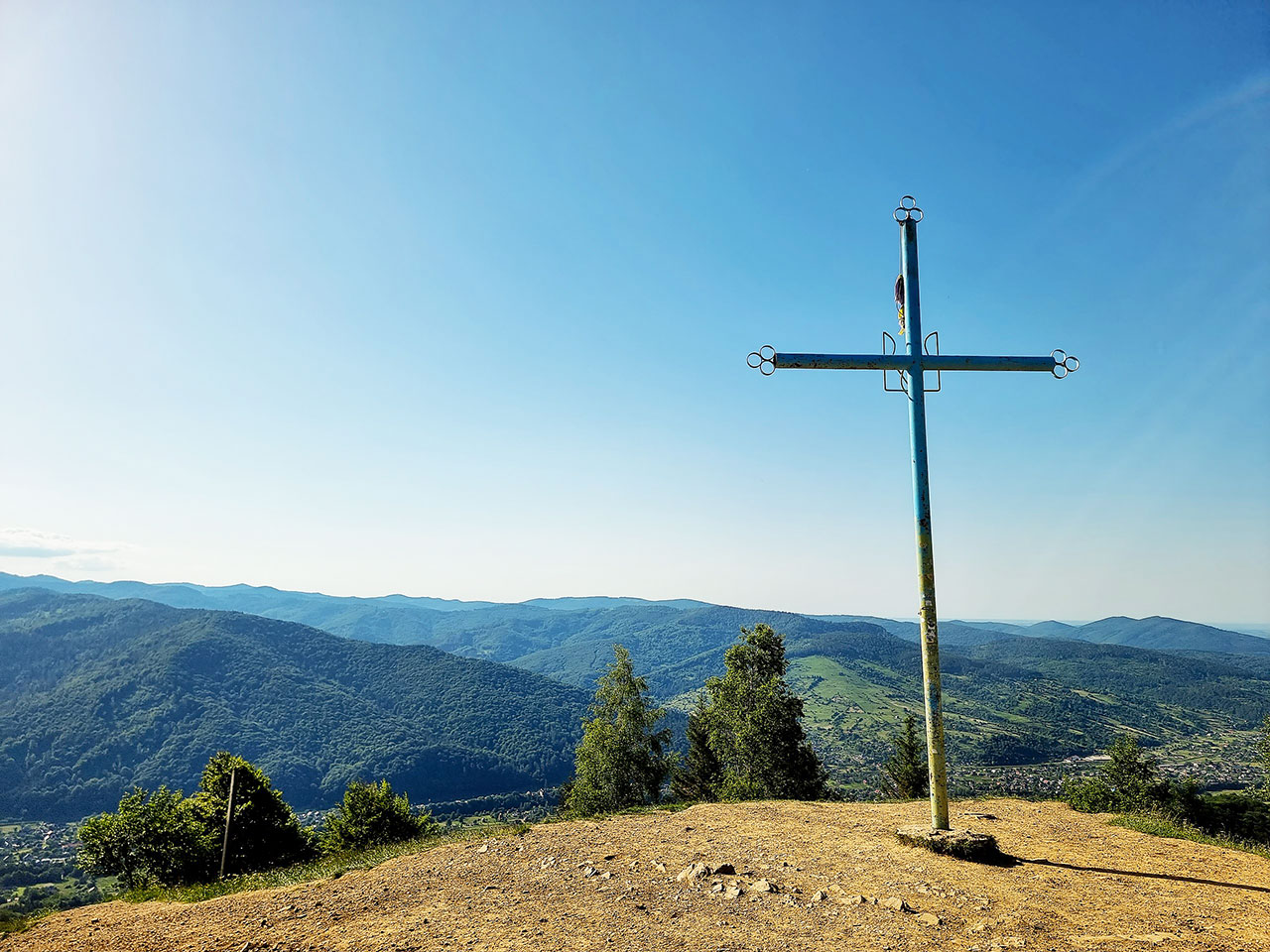
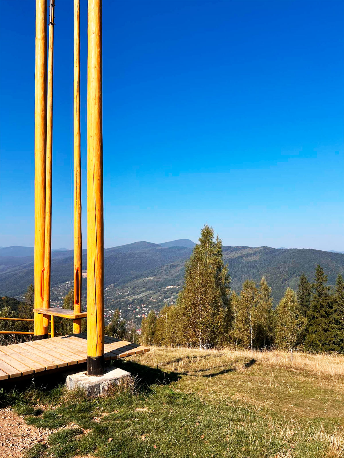
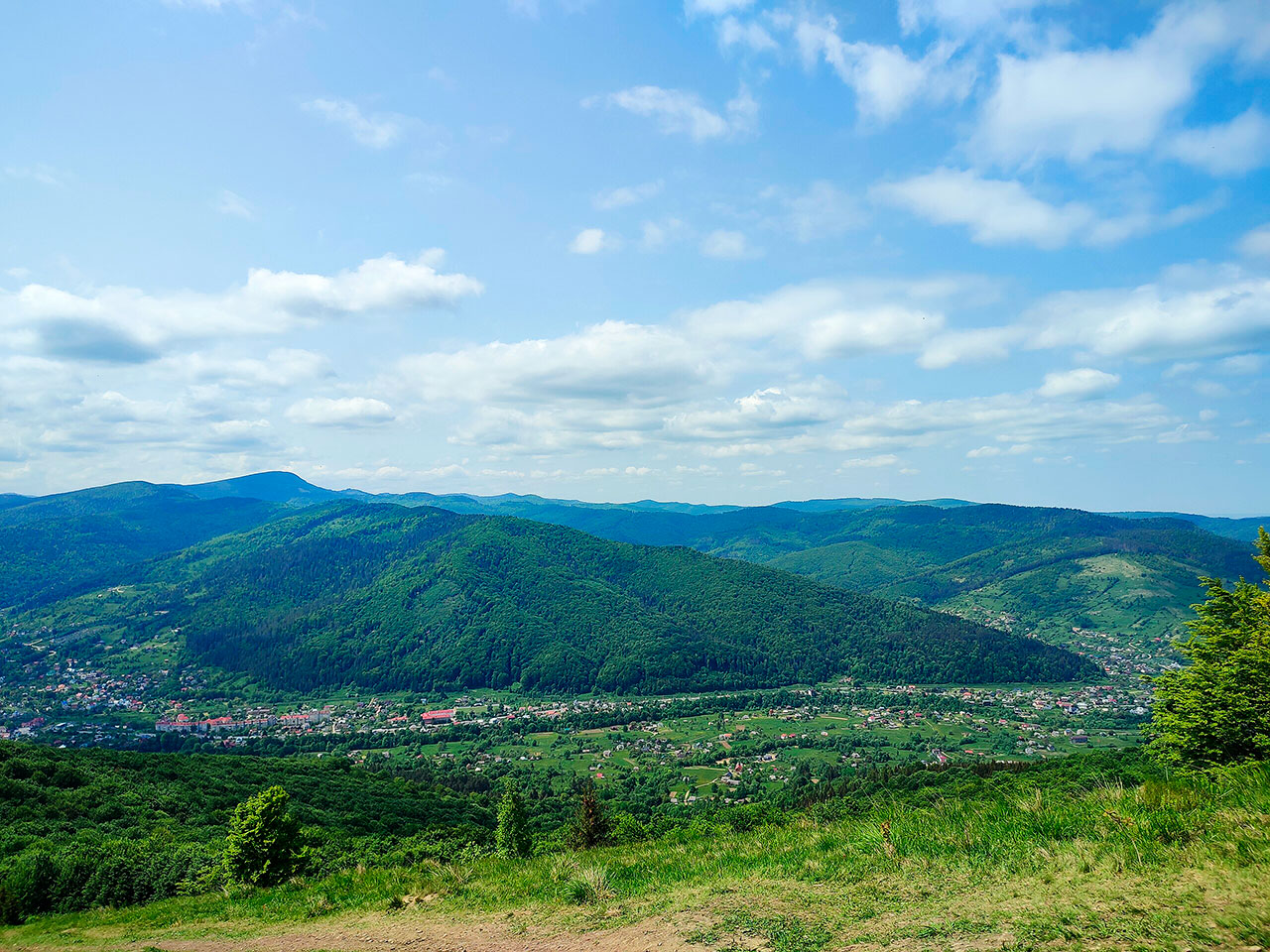
What you will see at the top
There is a metal cross and tourist signs at the top: 3.5 km to Yaremche (≈1 hour 15 minutes walk), the same to the village of Dora, and about 4.5 km to the Dovbush Rocks.
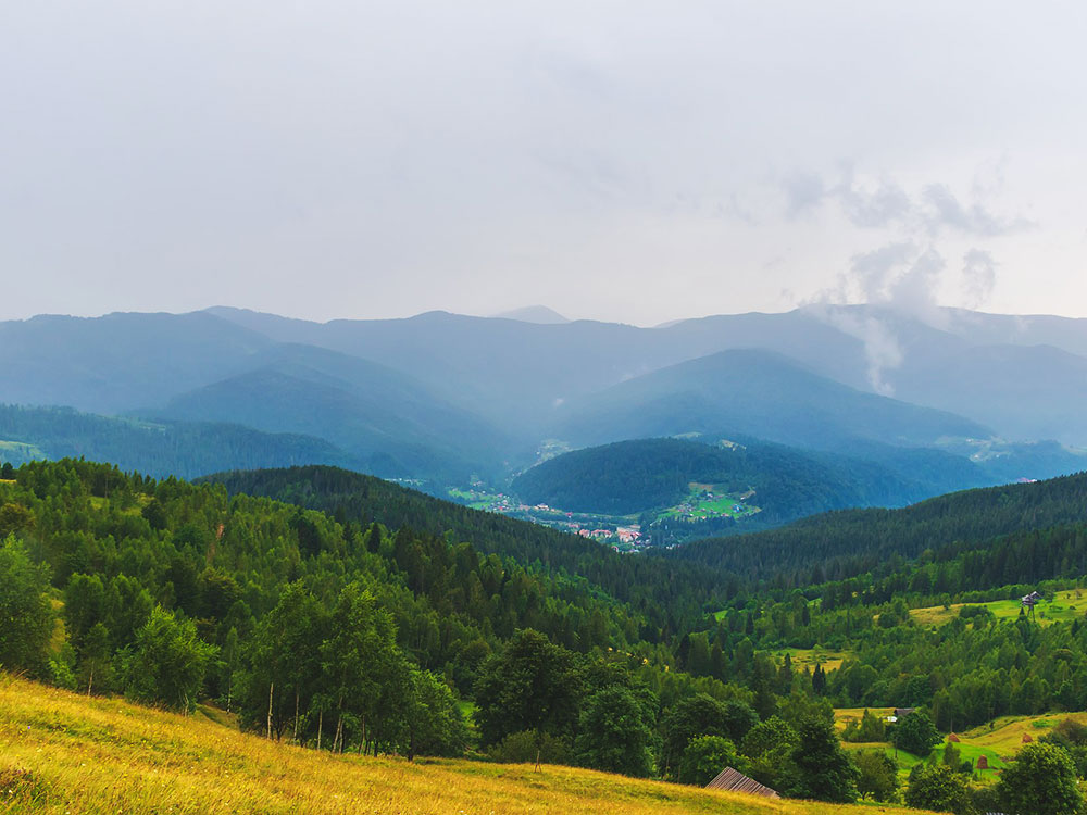
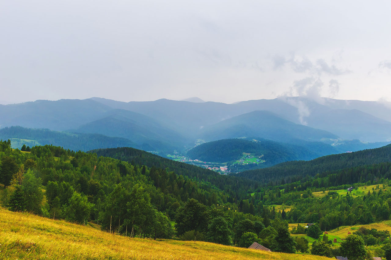
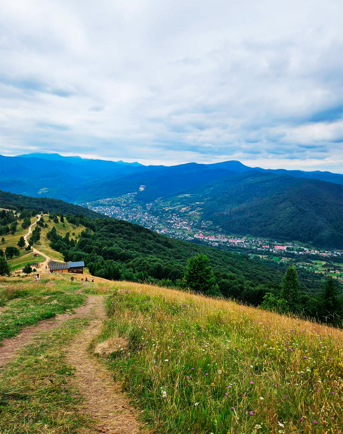
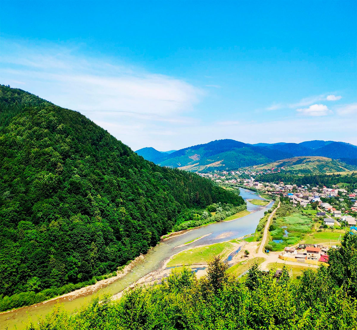
In clear weather, almost the entire Carpathian National Nature Park is visible from the top. To the west, the Zhonka River valley opens, to the south, the Prut Valley with the outskirts of Mykulychyna. On the horizon, the peaks of the Chornohirsky massif – Hoverla and Petros, as well as the Yavirnyk ridge, Khomyak, Synyak and Dovbushanka mountains are clearly visible.
Historical mark
During the First and Second World Wars, battles took place on the slopes of Makovytsia. You can still see the remains of trenches here, and sometimes even come across shell casings. This adds a special flavor to the route and reminds you that the mountain witnessed the turbulent events of the 20th century.

Impressions from the hike
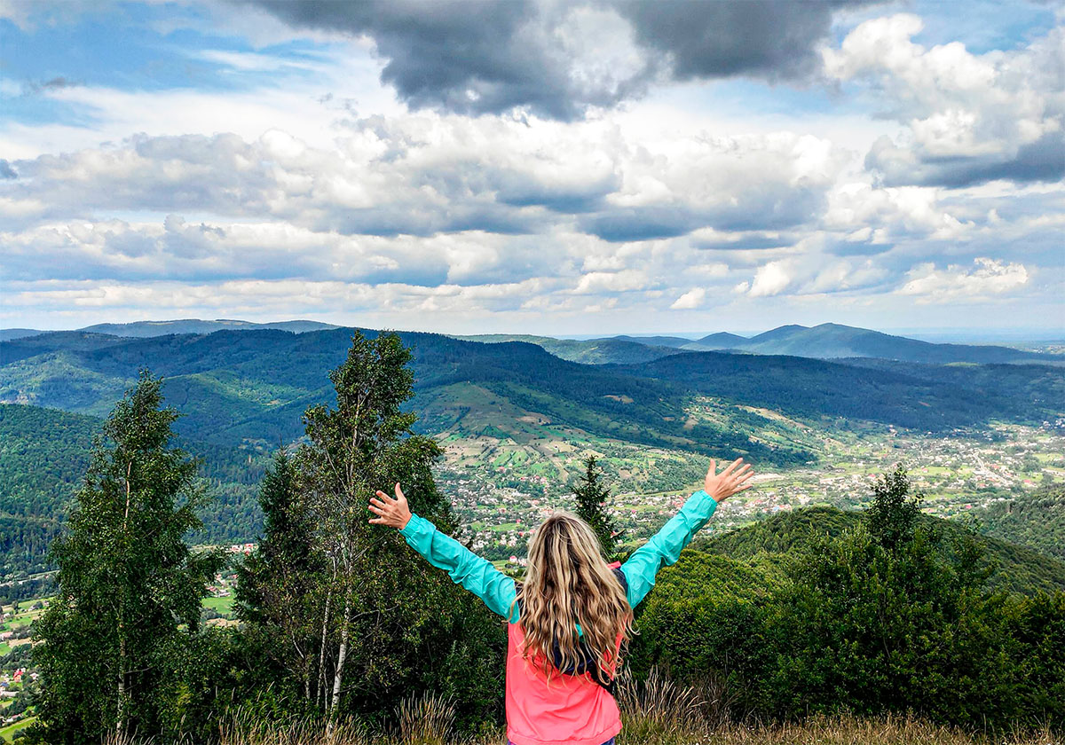
Makovytsia is a treeless peak with a simple route that does not require special equipment. This is a great option for a one-day hike that combines activity, contemplation of picturesque panoramas and acquaintance with the nature of the Carpathians. The mountain is beautiful at any time of the year: in spring it is full of freshness, in summer it gives the coolness of forests, in autumn – colorful landscapes, and in winter – the silence and beauty of snow-covered slopes.

So if you are planning a vacation in the Carpathians, be sure to climb Mount Makovytsia. This is an easy hike that will give you fresh air, the silence of the forests, and breathtaking mountain panoramas that will remain in your memory for a long time. Makovytsia is waiting for you at any time of the year!
Where is located
Yaremche, Ivano-Frankivsk region.