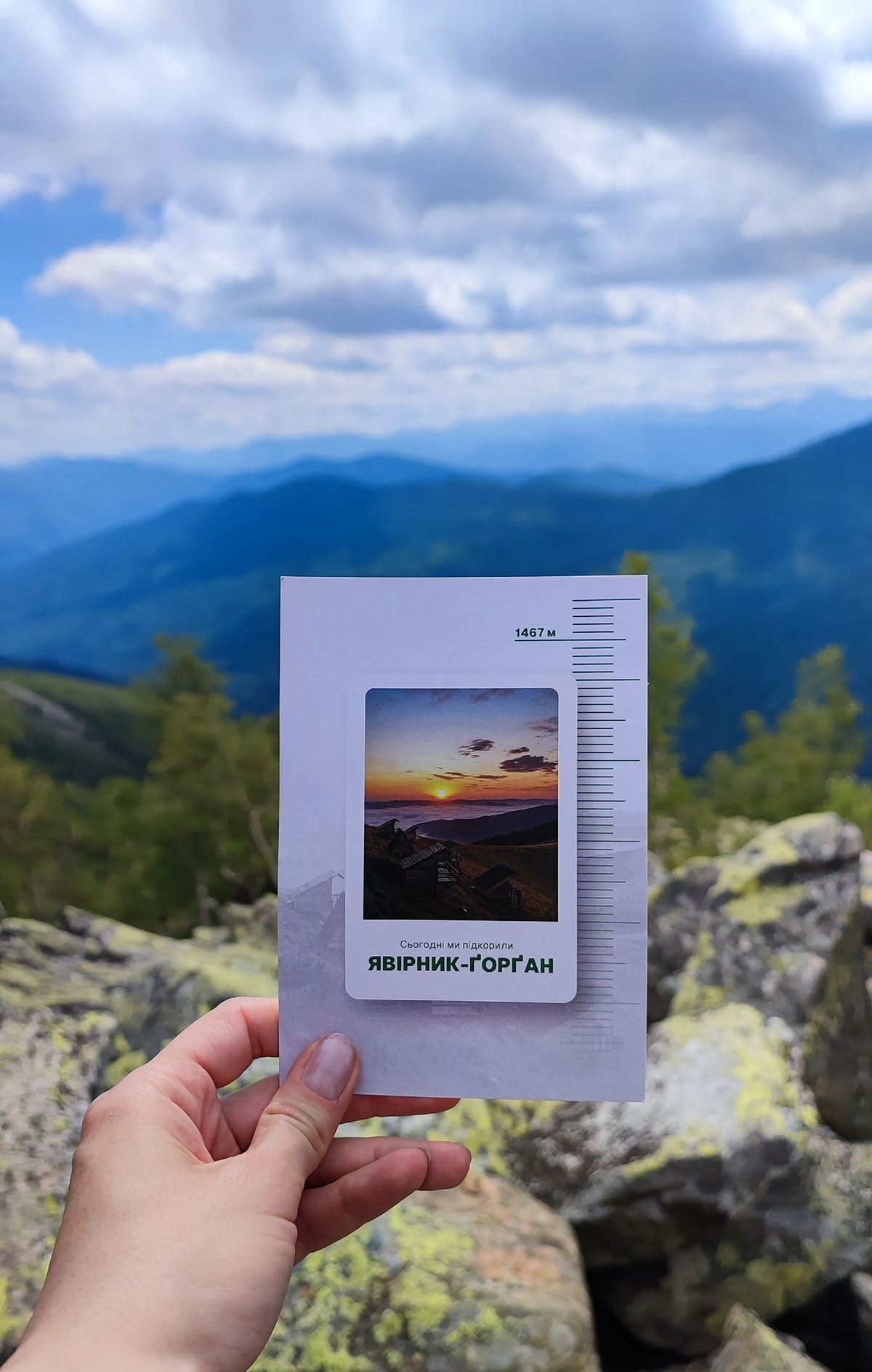
The highest peak of the Yavirnyk ridge (belonging to the Gorgan Mountains) is called Yavirnyk-Gorgan (height – 1467 meters). It is located in the Nadvirna district of the Ivano-Frankivsk region. This clarification is definitely worth making so as not to confuse this mountain with the Yavirnyk peak (1017 meters) of the Velikobereznyansky district of Zakarpattia. The distance to the Yavirnyk-Gorgan mountain from our hotel “Chillax” is about 20-30 kilometers (there are several recommended climbing routes, so the exact distance depends on the route you choose).
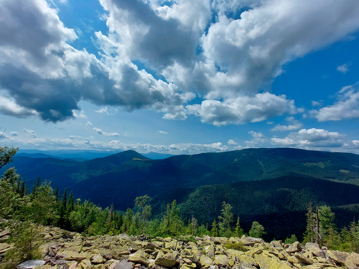
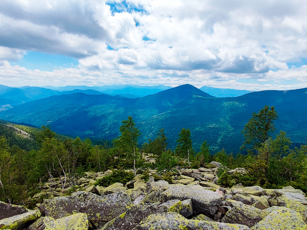
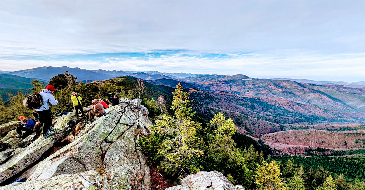
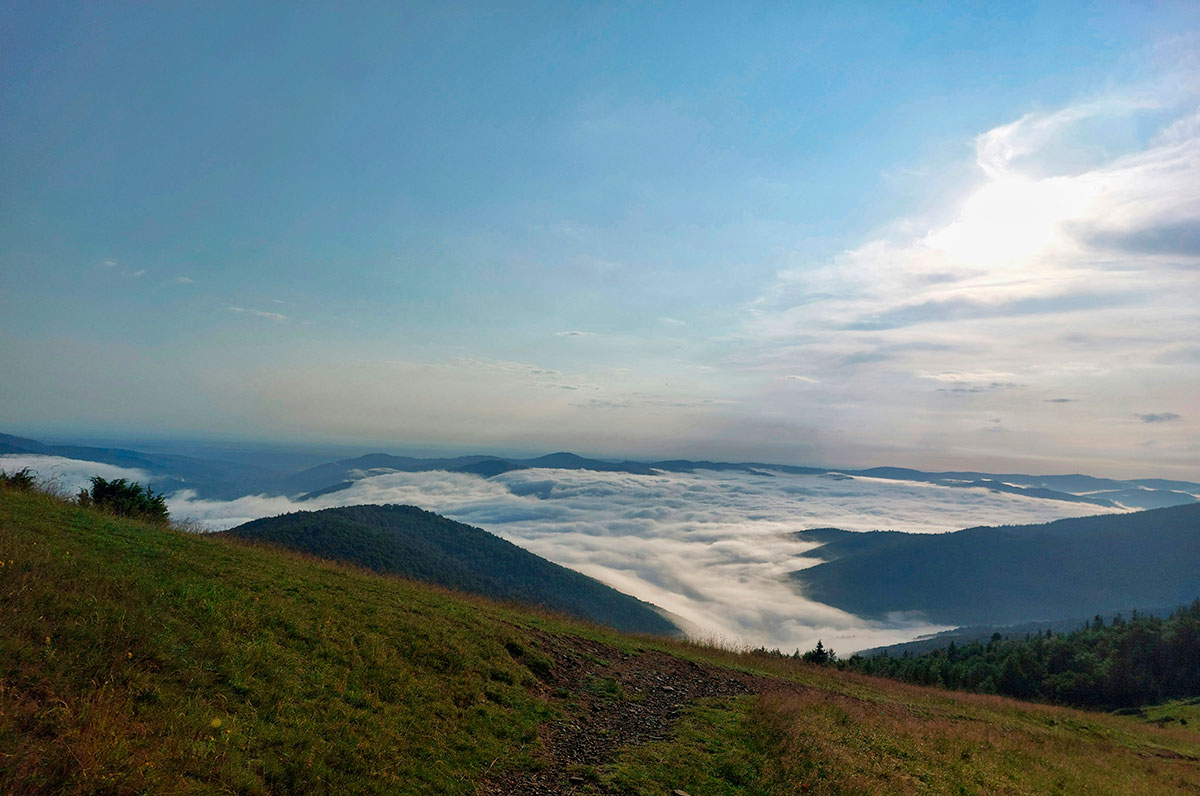
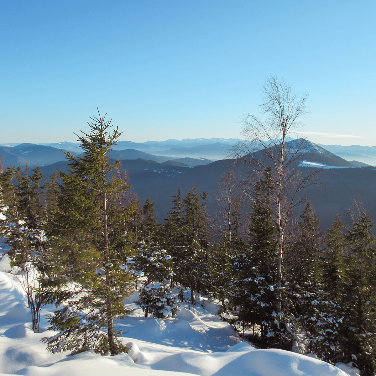
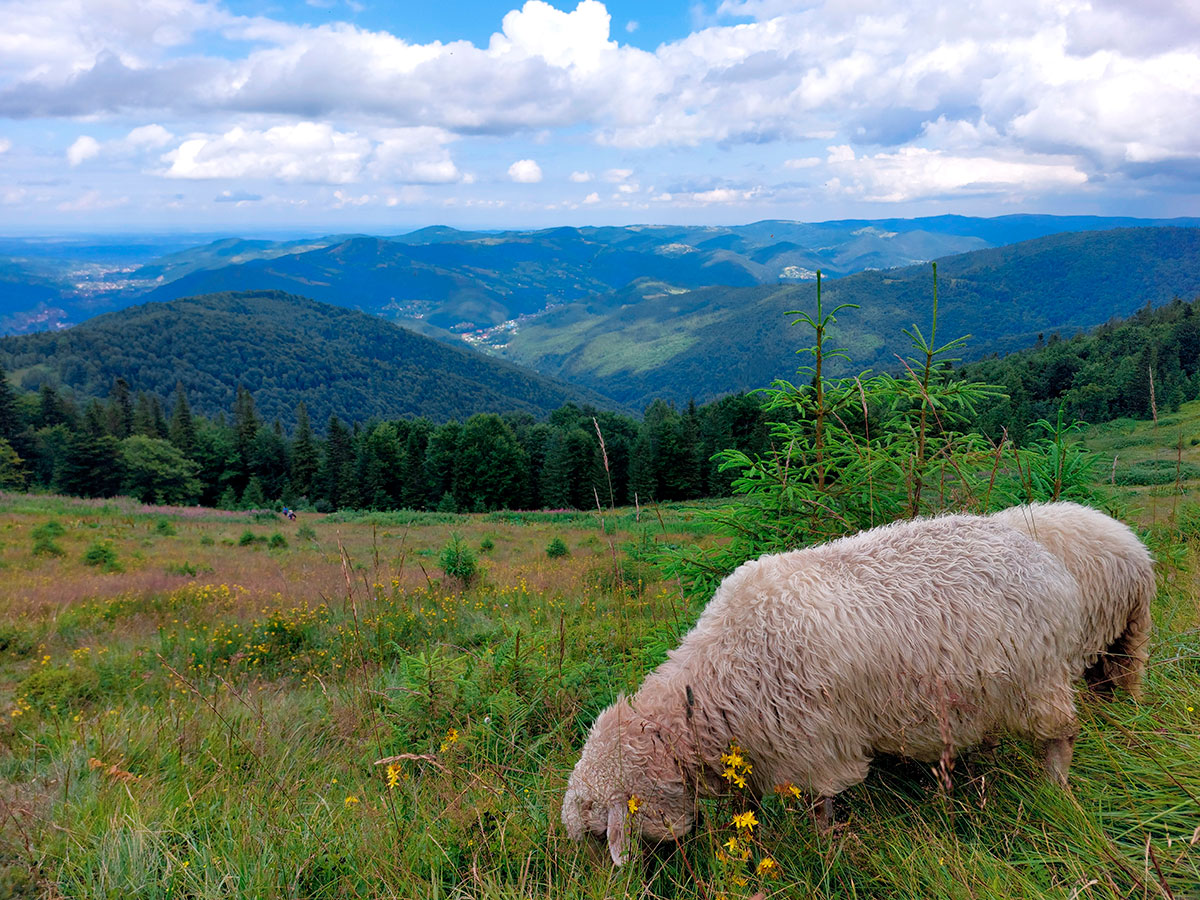
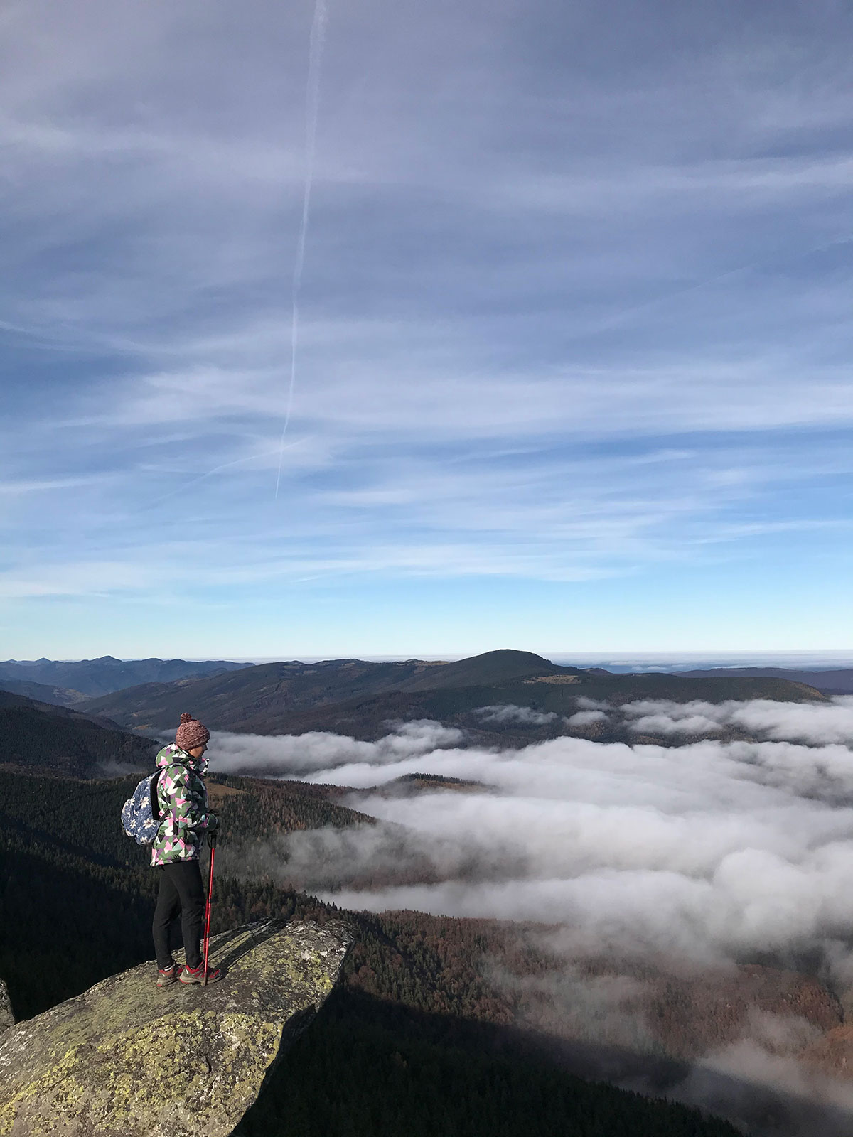
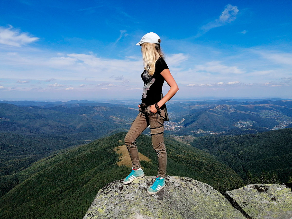
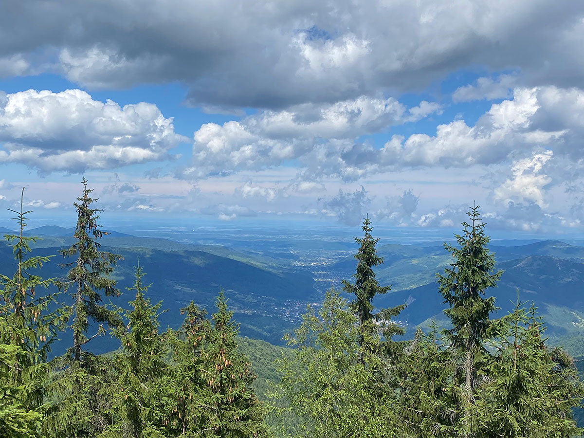
Now, having dealt with the name and location, let us explain – why did this mountain win the hearts of many thousands of tourists? First of all, the top of Mount Yavirnyk-Gorgan is a wonderful observation platform in the Carpathians, from where many neighboring mountains and ridges are visible at a glance, in particular: Syniak (1665 meters), Dovbushanka (1754 meters), as well as the Chornohora massif with the highest point in Ukraine – Hoverla (2061 meters).
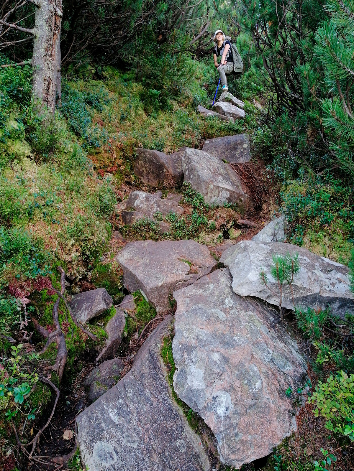
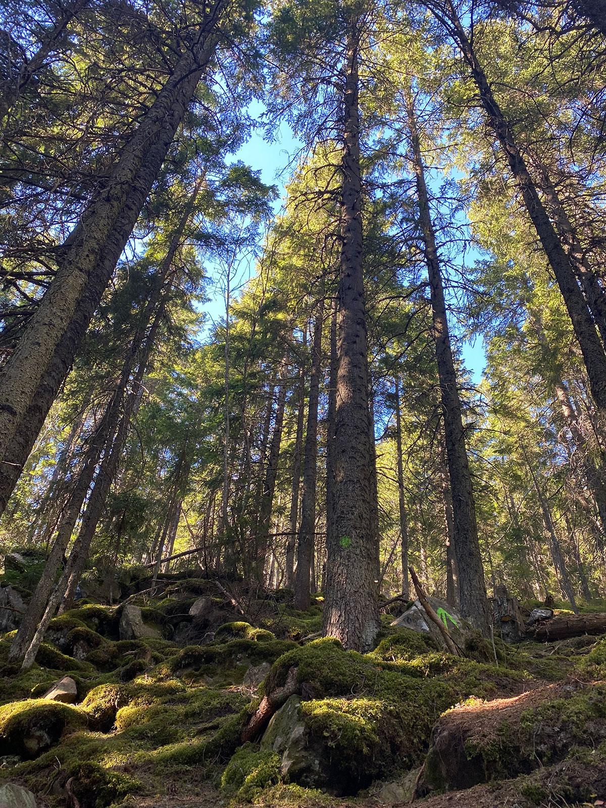
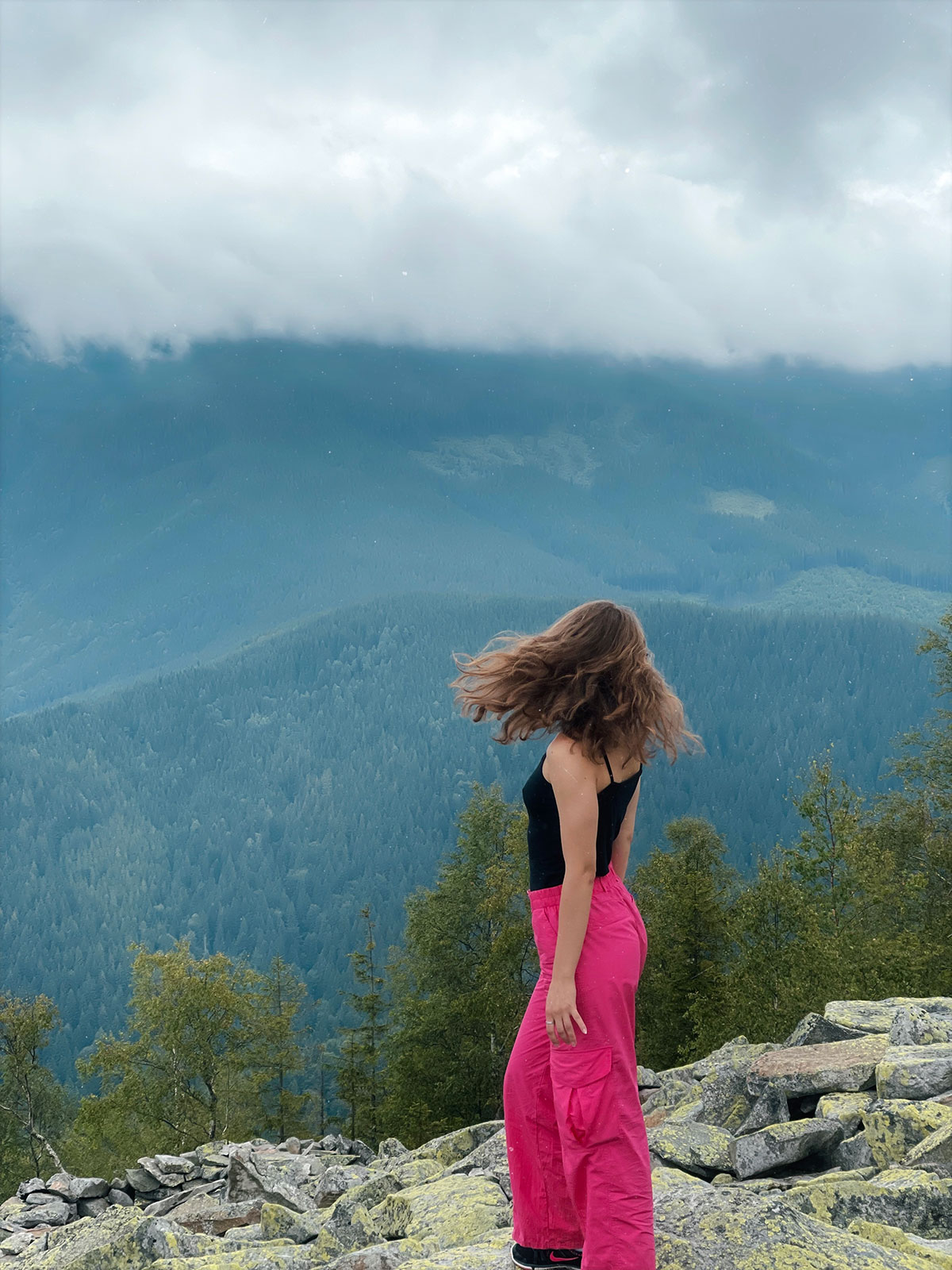
It is worth noting that the path to the top of Yavirnyk-Gorgan is far from easy. There are very few trodden paths. And along the way, you will constantly encounter “live” stones under your feet, tiring and testing your strength. And these are not just individual stones, but large gregots (rocky screes) in the Carpathians, the size of which can reach 10 meters! Therefore, you need to be attentive and very careful on the way, so as not to have to contact traumatologists.
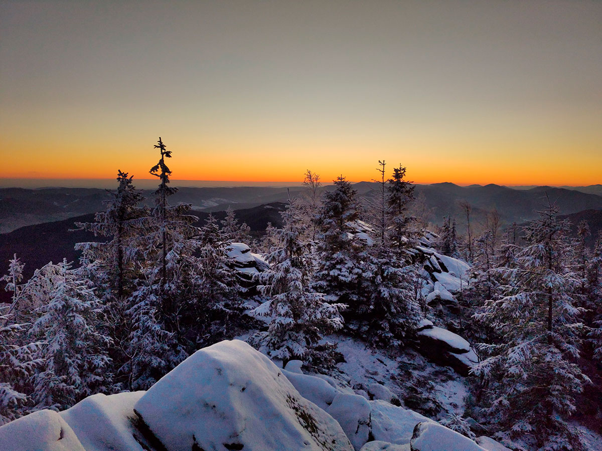
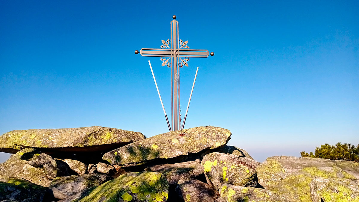
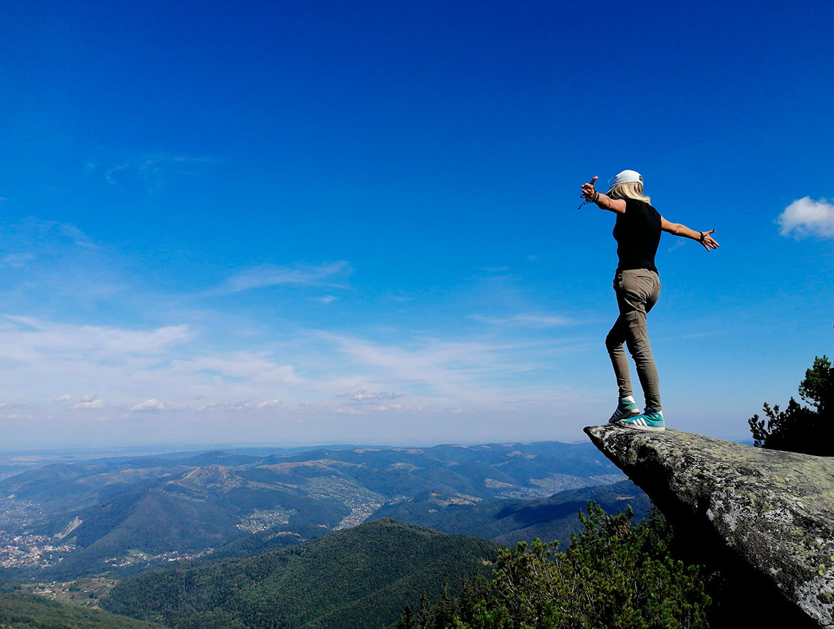
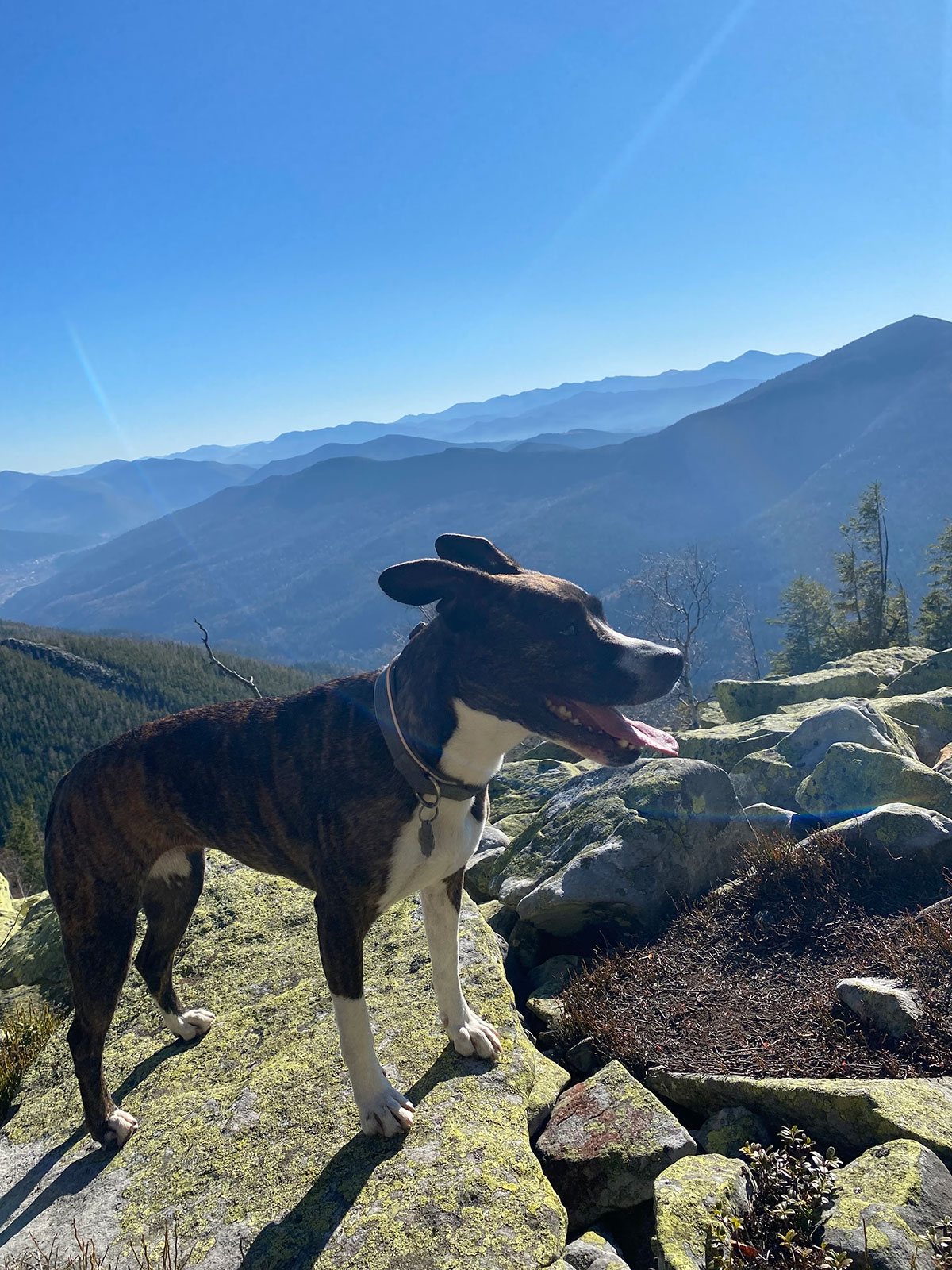
The finish line to the top is much more difficult and challenging than the path at the beginning of the ascent, because you will encounter more and more rocky surfaces, but then you can completely relax on the top and enjoy the wonderful views opening up in the distance. Mount Yavirnik-Gorgan is beautiful and accessible in any season, but the path to its top in winter is much more difficult than in the warm season.
At any time of year, we advise you to stick to the marked route and not try to cut the path either to the top or descending from it – many decades ago there were fierce battles here, and since then in some unexplored places you can stumble upon unexploded grenades or shells. So, do not take reckless risks!
The most popular route (yellow marking) starts from the souvenir market in Yaremche, leads through the Yavir and Vovchya meadows straight to the top of the mountain and back through the Yavirnik meadow. The total distance along this route is 15 kilometers, and the average duration of the walk is 7 hours.
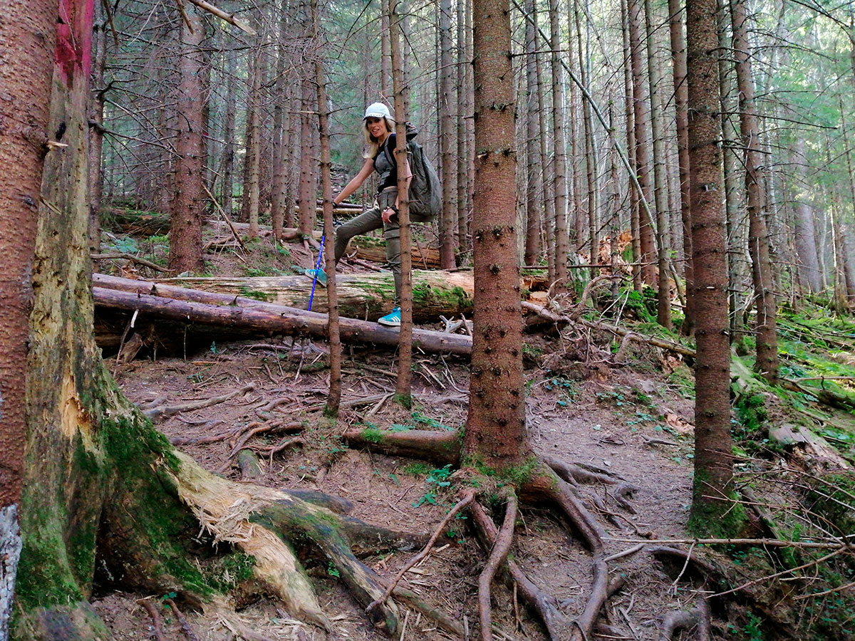
You can follow the blue markers that lead through the Maiden’s Tears waterfall, the Pereslop pass, the Yavirnyk and Krugloyavirnyk meadows and further to the top of Mount Yavirnyk-Gorgan. Note that sometimes the markings can be combined, or only in the form of bandages on trees (for example, from the Yavir meadow), so it is better to have a map and GPS navigator with you so as not to stray from the intended course.
Our advice: the hike to Mount Yavirnyk-Gorgan is not very easy and simple, so we recommend climbing this peak only to experienced tourists with sufficient relevant experience!
Where is located
Yaremche, Ivano-Frankivsk region.