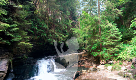
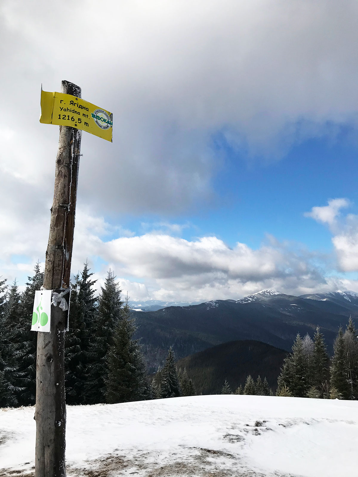
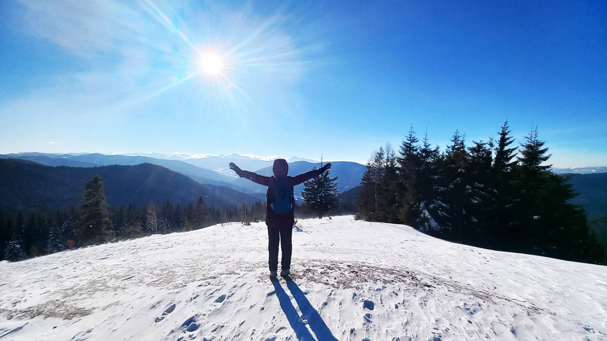
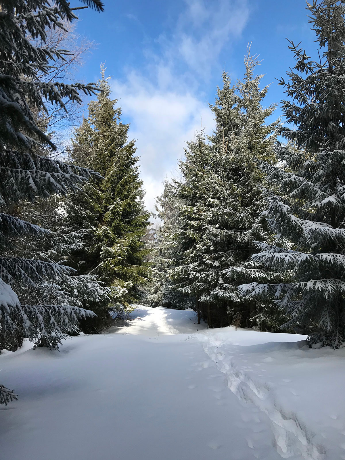
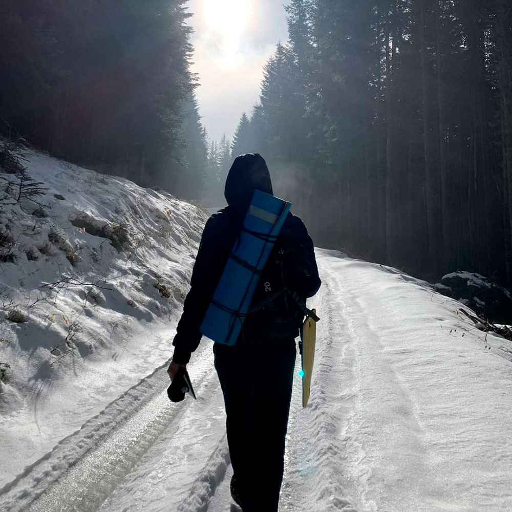
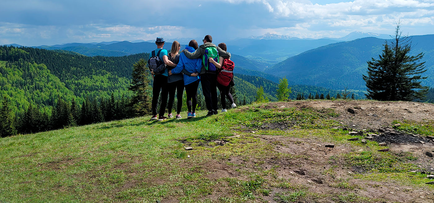
A hike to Mount Yagidna (height – 1216 meters) is an ideal option for an easy walk in the mountain Carpathians. The great advantage of hiking this mountain is the ability to do it at any time of the year. The route is classified as easy, which means that almost any healthy person, including pensioners and children of primary school age, can climb Mount Yagidna without any problems.

There are two main routes for such an ascent – from the village of Tatariv and from the village of Mykulychyn. Tatariv is located 10 kilometers along the highway from our hotel “Chillax”, Mykulychyn is 43 kilometers away.
First option
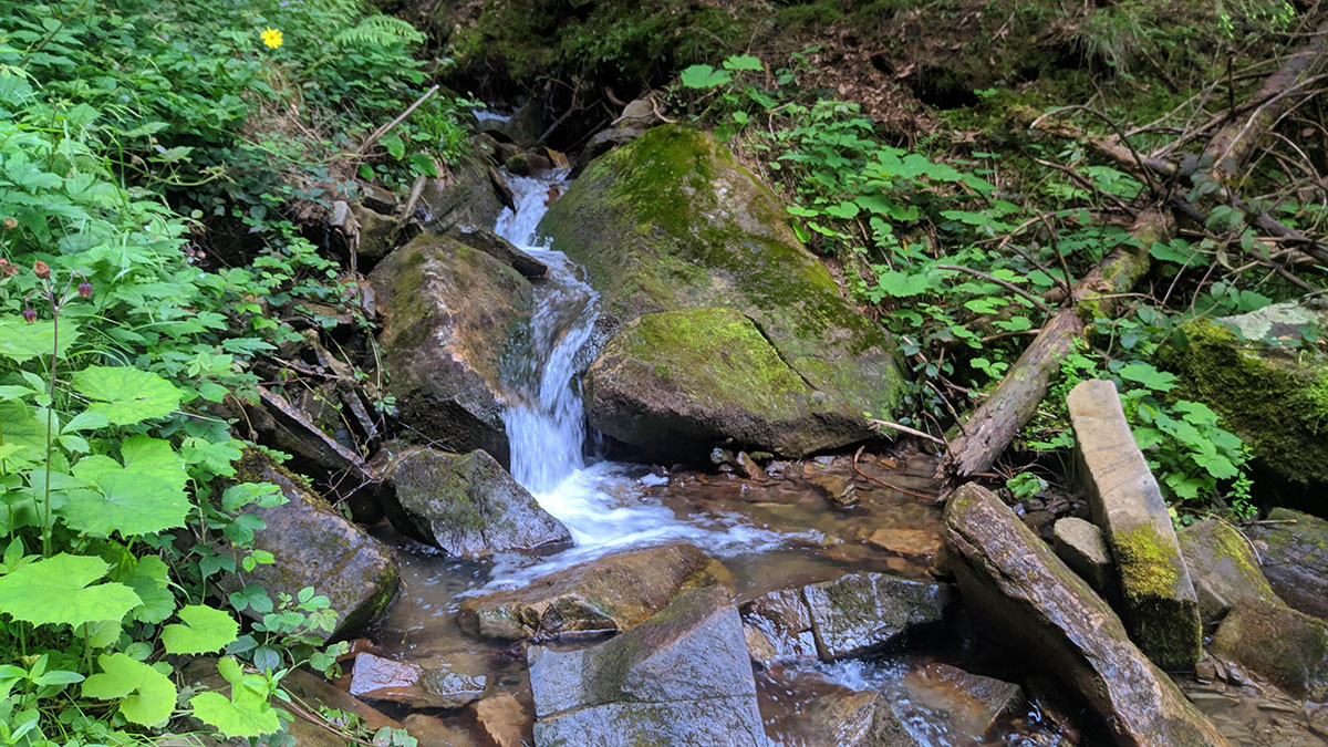
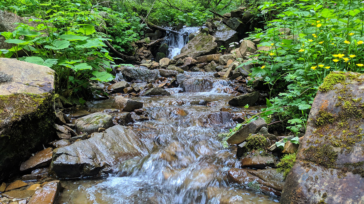
If you start from the village of Tatariv, then you need to start moving from the center (next to the turn to Vorokhta). The route is marked with green markers – you need to follow them out of the village, right up to the stream. Next you need to walk along the stream for about 2 hours – and you will come to a saddle between the mountains Kunikulyva and Lisniv. After this, turn left and follow the ridge in a northwest direction.
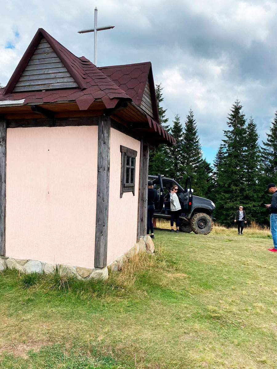
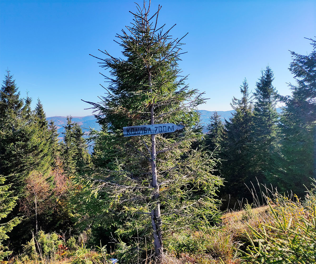
This way you will get to the Lisniv valley, where there is a kolyba and a source of drinking water. This hut is quite suitable for a good rest and even an overnight stay (the roof does not leak, there is a stove, two beds – each for two people, a table, benches). And after about a kilometer of travel you will already be at the top of Mount Yagidna.


Second option
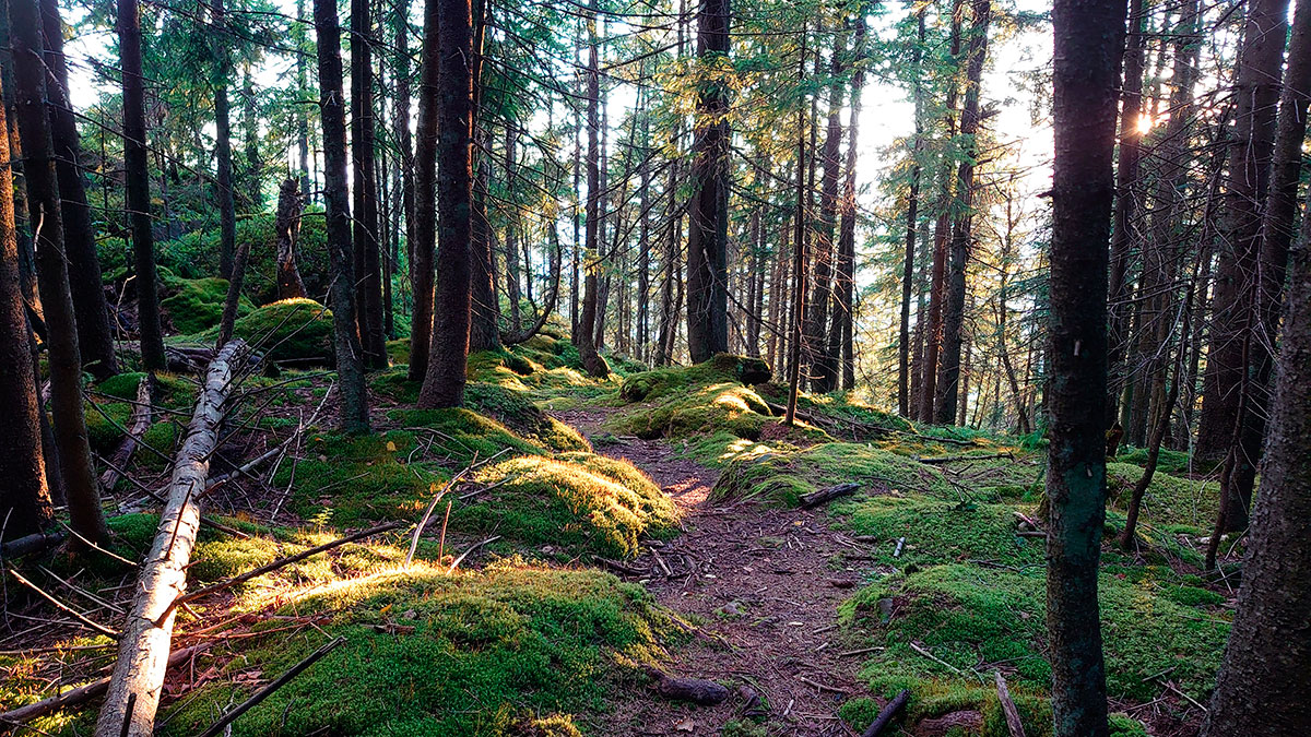
The route to the top begins in the village of Mykulychyn. You can start your hike from the local village council. The trail goes through the forest and has virtually no sharp climbs. Move south, along the Prut river. After you have covered about three kilometers, the road will begin to climb, and a little later it will turn into a path. Walking along this path, you will reach the top of Mount Yagidna.
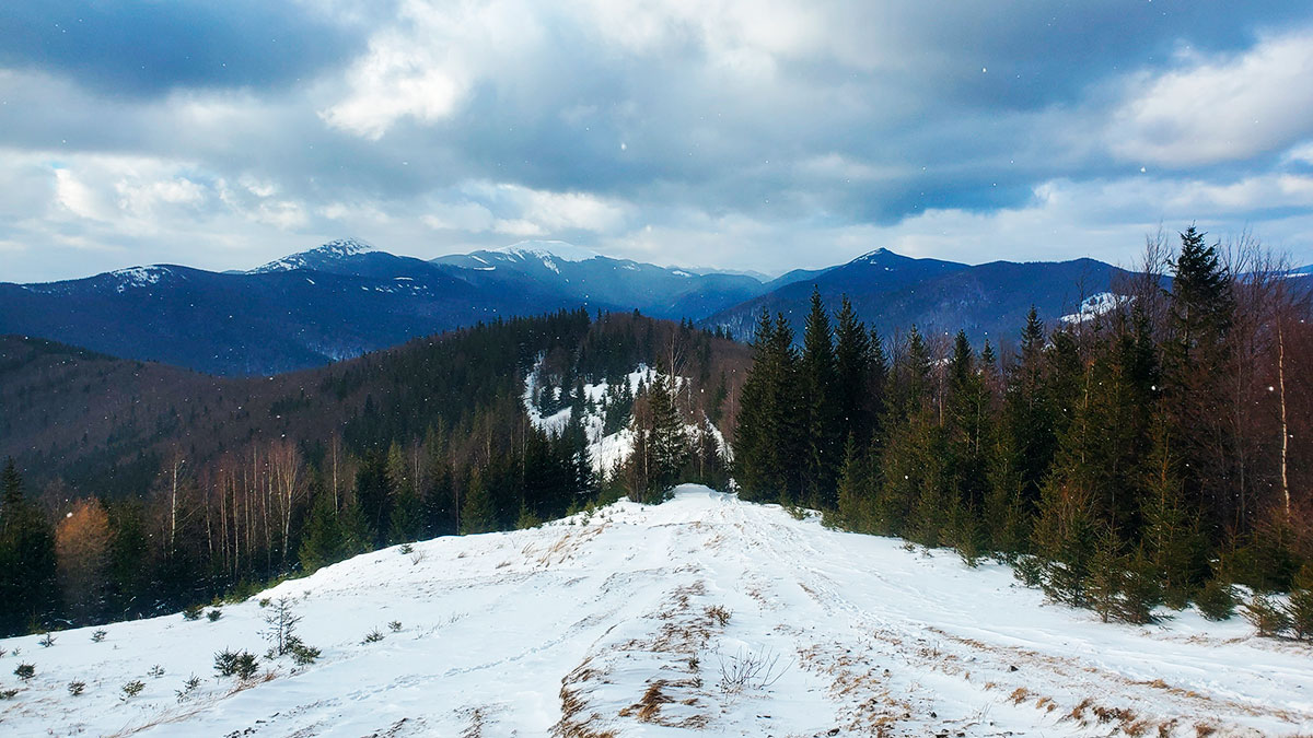
The total duration of the route will remain the same in any direction, approximately 15 kilometers. Depending on weather conditions and the physical fitness of tourists, the route can be completed in 5-7 hours, in winter – a little longer.


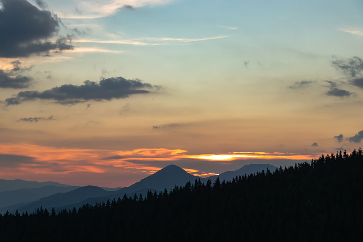


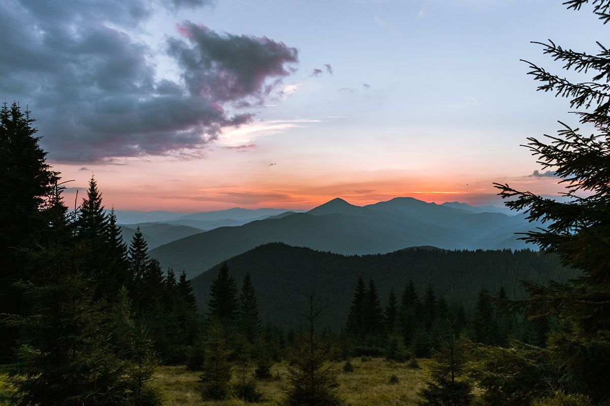

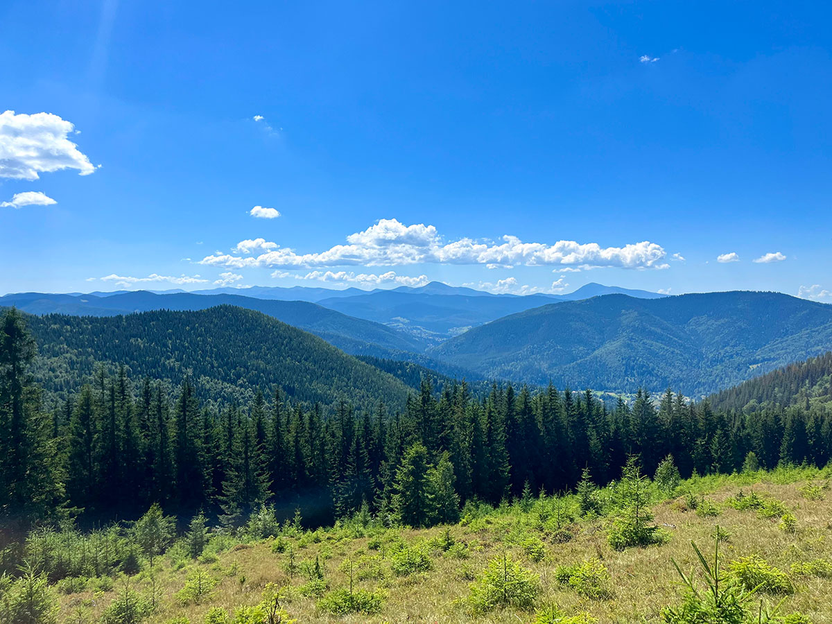
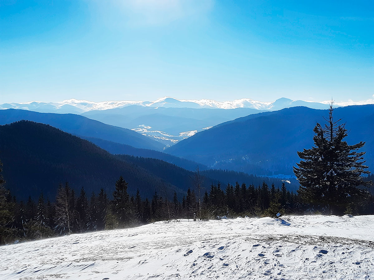
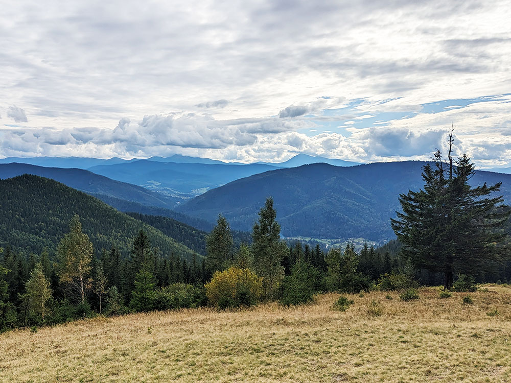
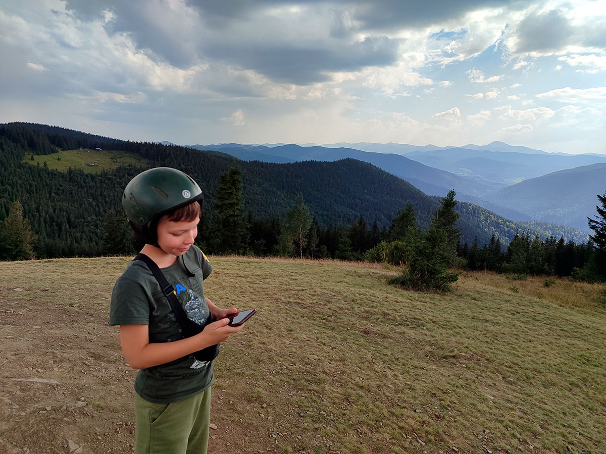
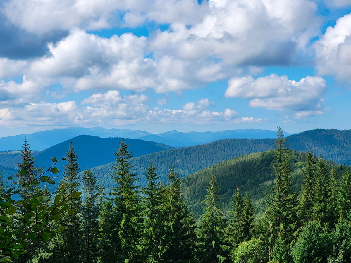
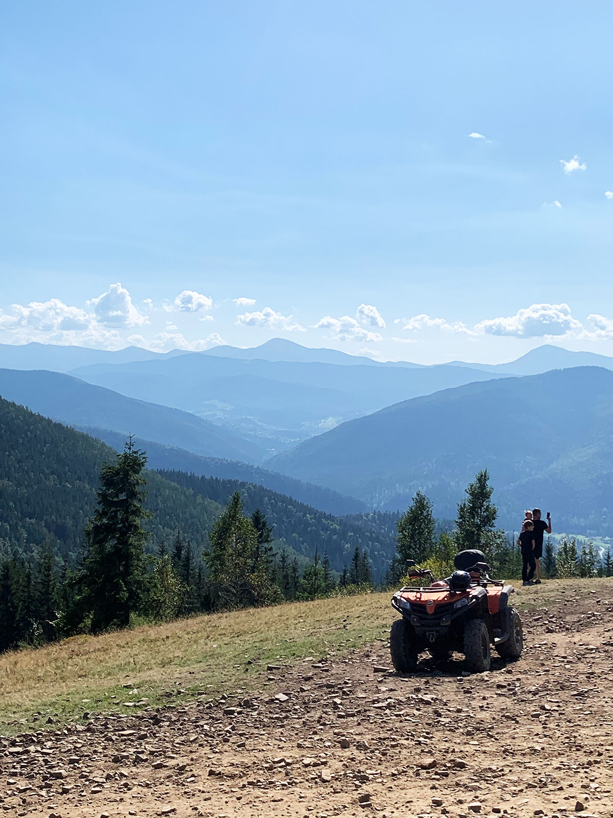
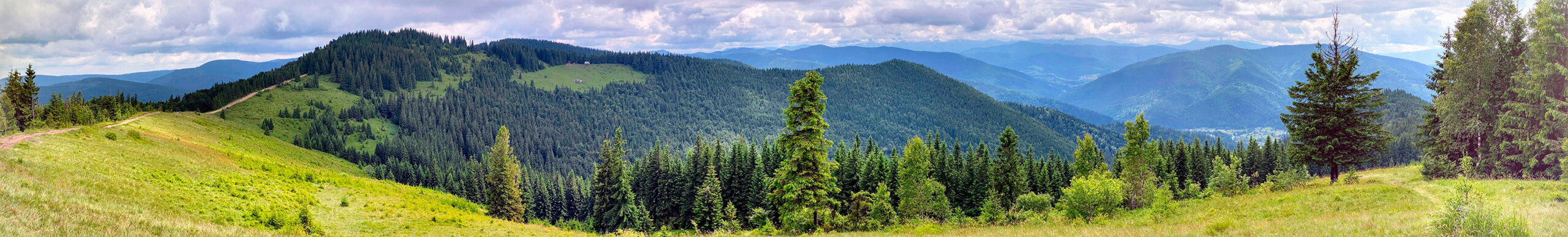
From Mount Yagidna there is a beautiful panoramic view of the Montenegrin ridge – in clear cloudless weather the highest mountains in Ukraine – Petros (2020 meters) and Hoverla (2061 meters) – are clearly visible. From the southwest you can literally see in full view the Gorgany Mountains and the peak of Mount Khomyak (1542 meters).
A wonderful holiday and a great mood when hiking on Mount Yagidna are guaranteed!
Where is located
Mykulychyn, Ivano-Frankivsk region.